By using this website, you agree to our use of cookies (needed to provide our website’s features) and our Terms of Use.
By: Andrew Forrest - December 2022
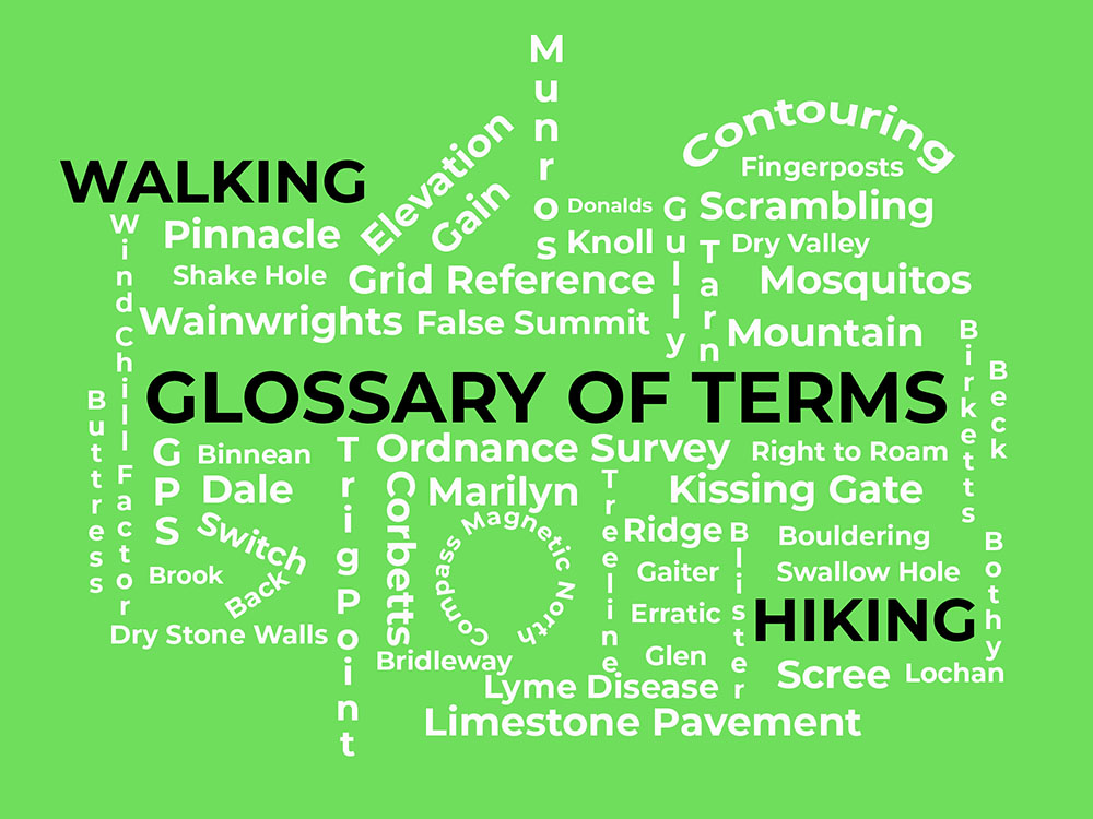
We've pulled together the most common walking, hiking and rambling terminology into our own little dictionary of hiking, walking and rambling terms and terminology.
This page contains affiliate links. As an Amazon Associate, we earn from qualifying Amazon purchases at no additional cost to you. We may also earn commissions from other retailers, again at no additional cost to you.
If you are new to hiking and walking and want to know all the walking lingo, or just want to brush up on the walking and hiking jargon take a look below. You don't need to know all these to enjoy a walk, but they sometimes help when following directions, reading a map or for that after walk beer in the pub conversation!
A ⋅ B ⋅ C ⋅ D ⋅ E ⋅ F ⋅ G ⋅ H ⋅ I ⋅ K ⋅ L ⋅ M ⋅ N ⋅ O ⋅ P ⋅ R ⋅ S ⋅ T ⋅ V ⋅ W
A
In crampons (and Yaktrax Summit microspikes), these are plates that prevent snow from balling up (sticking in clumps) under your foot. Snow build-up can negate your traction. Anti-balling plates address this by flexing or being non-stick.
A mountain ridge, as in Aonach Mor (big ridge), Aonach Beag (small ridge) and Aonach Eagech (notched ridge and certainly one not to be attempted by beginners as it's a grade 2 scramble!)
A very sharp and narrow mountain ridge with steep drops on both sides. One of the most well-known is the Carn Mor Dearg Arete, which leads to the summit of Britain's highest mountain, Ben Nevis, avoiding the main tourist path up.
Snow, ice or rocks rapidly falling down a mountainside.
B
Categories of mountain boots ranked by increasing stiffness. B1 boots accommodate strap-on crampons for light winter walks. B2 boots are stiffer and suitable for mountaineering with semi-automatic crampons. B3 boots are fully rigid and designed for technical climbing.
Microspikes can fit on most of these boots, but if you're wearing B-rated boots, you're probably in terrain that requires crampons.
A base layer is the layer of clothing next to your skin that can help keep you warm or cool. They should absorb and remove sweat from your body (known as wicking) to keep you comfortable and to do this, they need to be close-fitting.
Small, as in Aonach Beag.
A narrow mountain pass.
A little stream.
Malham Beck
A hill or a mountain, as in Beinn Narnain and Beinn Ime.
A hill or a mountain, as in Ben Nevis - the name Ben appears in many of Scotland's highest peaks.
A high point or a pinnacle, as in Binnean Mor, the highest peak in the Mamores.
These are the 541 peaks as set out in Bill Birkett's 1994 book. All are within the Lake District National Park and all are over 1,000 feet (305m) high. 209 of these 541 peaks are also 'Wainwrights'.
A temporary camp outside without tents.
A lightweight, waterproof sack that goes over your sleeping bag to keep it dry and to increase warmth, generally used without a tent. Bivy Shelters are also available that are effectively low-rise tents that keep the material away from your face.
Another name for a trail marker. Sometimes colour coded in areas where various marked walks exist close together.
A bubble on the skin filled with watery fluid. They are most often caused by friction or heat. Best treated before they happen, but if you have one out walking, products such as Compeed can really help take away the pain and make the rest of the walk more manageable. They are the bane of many a hike! If you want to find out more about how blisters are formed, ways to stop them and how to treat them, then check out our blisters blog.
A patented dial-lacing mechanism used on the Yaktrax Summit (and many snowboard boots, golf shoes etc.). 'Boa closure' is the twist knob that tightens a wire.
An area of wet, muddy ground often found in peaty areas.
A small hut or cottage used as a mountain refuge. The Mountain Bothies Association is a charity that maintains about 100 shelters in some of the remoter parts of Great Britain (www.mountainbothies.org.uk).
A large stone or rock, typically worn smooth by erosion.
The practise of climbing large boulders.
A route that can be used by walkers, people on horseback and cyclists, but cyclists must give way to walkers and persons on horseback. They are not to be used by motorised vehicles.
A small stream.
A stream.
A generally large, rocky protuberance, jutting out from a mountain, or a rock face between two gullies.
C
A man-made pile of stones which usually marks a path or the top of a hill or mountain.
A block of stone forming a limestone pavement, separated by grykes (fissures/gaps).
The lowest point of a ridge between two peaks, often proving a pass through them.
A device having a magnetic needle that points to the North, used in map reading and indicates direction - a compass is a must-have for every walker!
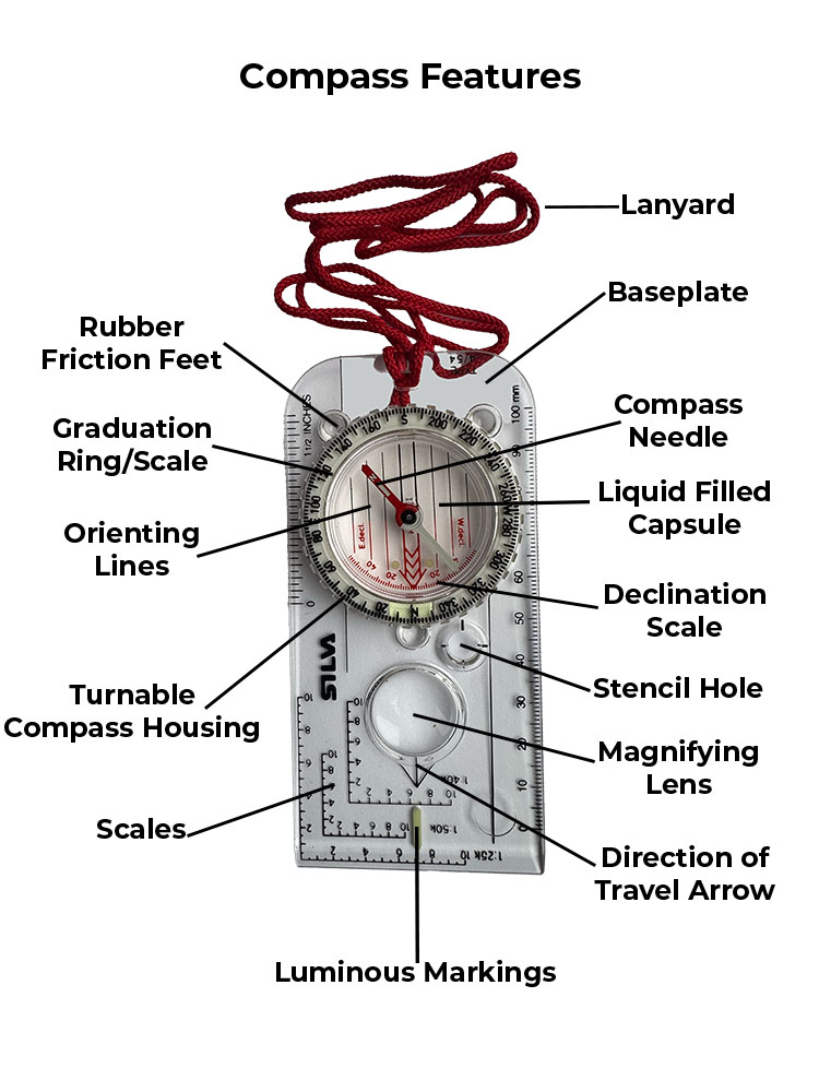
Compass features marked on author's Silva Expedition 4 compass
A line on a map joining points of equal height. These are the thin brown lines on the Ordnance Survey maps and if you look closely every so often on the brown line it will indicate the height of that contour.
Following a contour line, so walking along staying at the same height. If you were high up in a valley and wanted to get to the other side, rather than descend, lose all your height and ascend, you may just want to contour around the head of the valley to get to the same spot.
Scottish mountains between 2,500 and 3,000 feet high (762m to 914m) with at least 500 feet (152m) of descent all around. They sit in classification between Grahams and Munros. The initial list was compiled by John Corbett in the 1920s.
Corries form where snow accumulates on mountains, compacts over time into ice and through glacial erosion creates armchair-shaped hollows.
Mountaineering traction devices with metal frames and 8-14 long points, designed for walking on ice and climbing steep icy or snowy terrain. They generally require rigid boots. In addition to ice climbing, crampons help ensure safety when travelling on snow and ice, including crossing glaciers, snowfields, and icefields, climbing snow slopes, and scaling ice-covered rocks.
Do not confuse microspikes with crampons - crampons are for serious winter mountaineering. Sometimes hikers refer to microspikes as 'crampons', but technically they are different.
D
A valley, especially in Northern England e.g. The Yorkshire Dales, which include: Arkengarthdale; Barbondale; Coverdale; Dentdale; Kingsdale; Littondale, Malhamdale, Ravenstonedale; Ribblesdale; Swaledale; Wensleydale; Widdale and Wharfedale.
The angle between magnetic north, where your compass needle points to and true north, which is a straight line from you towards the actual North Pole, basically the angle difference between your grid lines on a map and the earth's magnetic field.
When map reading if you take a bearing off a map or a bearing to a feature, you need to adjust for this declination - the angle is often shown on your map. In the UK in 2022 you can almost ignore it as it is only 0.5 degrees and will move by about 0.5 degrees each 5 years, especially as compasses can be inaccurate up to a couple of degrees. If you are walking outside of the UK, you need to take more notice of this figure, as it can be much higher.
An insect and tick repellent. If you've ever walked in western Scotland in June-August... it's a must to try to keep those little black critters away! A net hat also helps.
A rounded summit or hill, generally an offshoot of a higher mountain. A Dodd has also been defined as a hill between 500m and 599m high with a drop of at least 30m all around it. The name was originally derived from Donald, Deweys, Deweys and Scotland.
All hills in the Scottish Lowlands over 2000 feet in height. The list was first generated by Mr Percy Donald, a Scottish Mountaineering club member in 1935.
Walls that have been traditionally used as boundaries for centuries and are built without cement or mortar to hold them together.
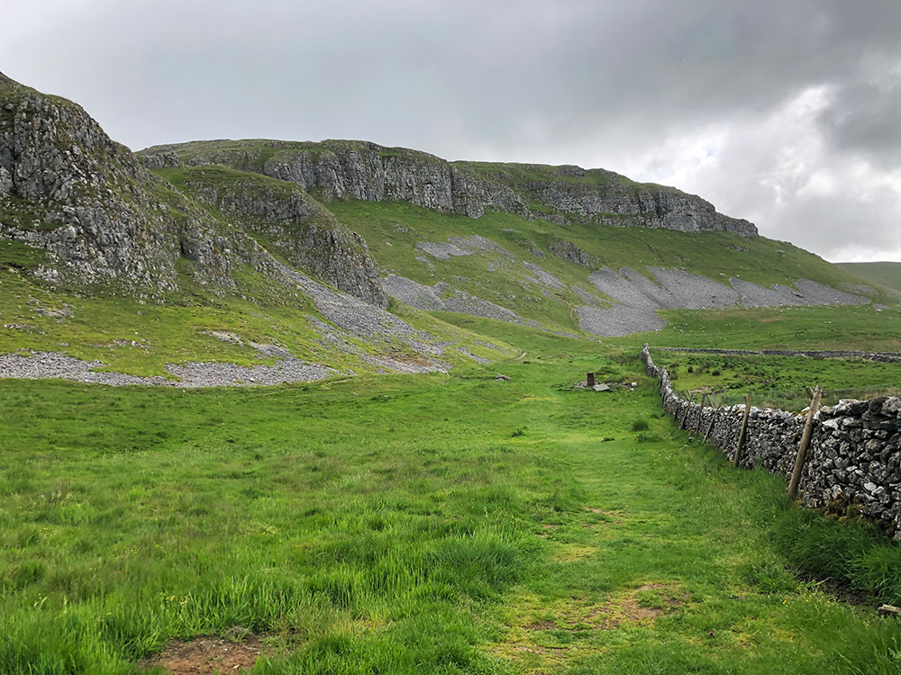
A valley cut by water that does not have a permanent stream running through it. They generally occur in areas of porous rock such as limestone, such as Watlowes just north of Malham Cove.
E
A flexible, rubbery material commonly used in microspike harnesses. Maintains elasticity in cold weather. It can be natural rubber or a synthetic such as TPE (thermoplastic elastomer). Key property: resistance to cracking in freezing conditions.
The sum of all the individual height gains on your walk - the total amount of climbing that you'll do.
A glacier-transported slab of rock that differs from the size and type of rock local to the area in which it rests e.g. Norber Erratics in the Yorkshire Dales.
F
One of those sometimes annoying things - you think you see the summit ahead, but due to the shape of the hill or mountain, when you get there, you realise it was just a rise or shoulder and you still have more climbing to reach the summit.
A hill or mountain with its name derived from the old Norse word fjall meaning mountain. More often a term used in Northern England.
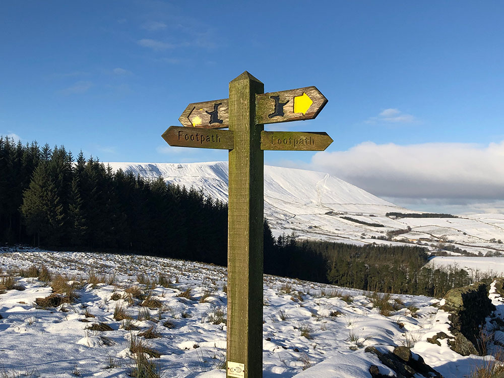
Posts (mainly wooden) that are a directional signpost in the shape of a finger, often showing how far you are from a certain location. They usually have 1-4 fingers on them.
Finger Post with directions
Finger post without directions
An inlet or river estuary e.g. Firth of Clyde or Moray Firth.
A waterfall, derived from Viking word 'Foss' e.g. Aira Fore, in the Lake District.
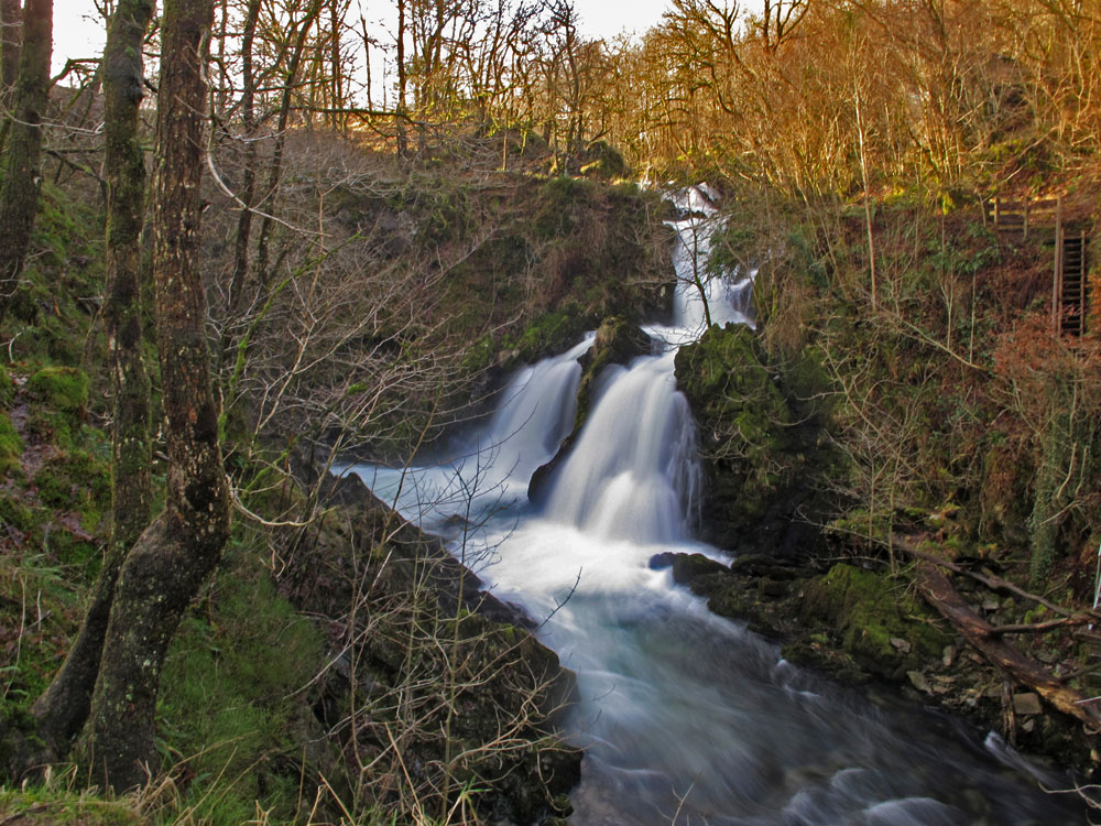
Colwith Force waterfall
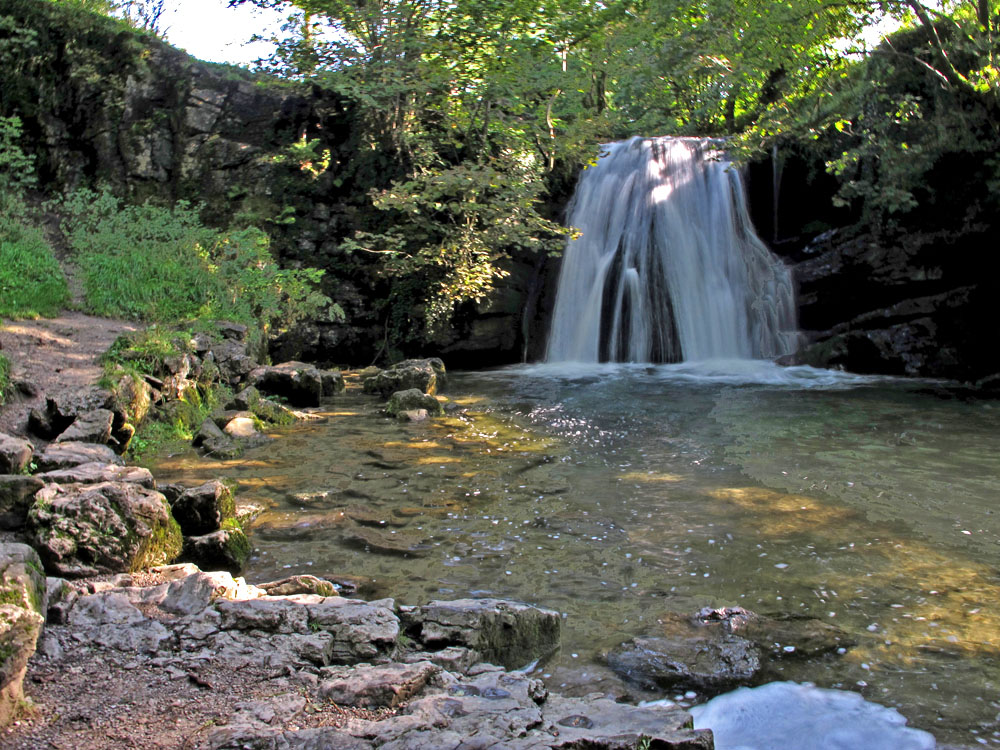
Janet's Foss waterfall near Malham
A shallow spot in a river or stream that allows you to cross... you may get your feet wet though!
The front-facing teeth on a crampon (projecting at the front of the boot). Used for kicking into vertical ice. Microspikes lack frontpoints; all their spikes are oriented downwards. That's why microspikes aren't suitable for climbing anything steep, as you can't kick into them.
G
A gaiter is a fabric guard attached to your boot and lower leg. Its primary purpose is to protect your feet and lower leg from mud, water, debris and shrubs.
A generally deep ravine with a stream, often wooded e.g. Dungeon Ghyll in the Lake District.
Massive bodies of slow-moving ice, formed by the accumulation of layers of snow, that get compressed into ice. It's believed the last ones in the UK disappeared in the 1700's in the Cairngorms, so you'll have to trek further afield if you want to visit one now.
A valley.
Global Positioning System is a network of satellites that provide locational information. So if you use any mapping apps and your device shows you where you are, that information is being sent to your device via GPS.
A list of Scottish mountains between 2,000 and 2,500 feet (610m-762m) high, with a drop of at least 150m on all sides. The original list of 224 Grahams was compiled by Alan Dawson and Fiona Torbet, which now appears to have reduced in number to 219.
A map reference designating a location in terms of northings (horizontal) and eastings (vertical) grid lines which are identified by numbers or letters. These are all shown on the Ordnance Survey maps in Great Britain and they have written a beginners' guide to using them https://getoutside.ordnancesurvey.co.uk/guides/beginners-guide-to-grid-references/.
A fissure or opening that separates clints in a limestone pavement.
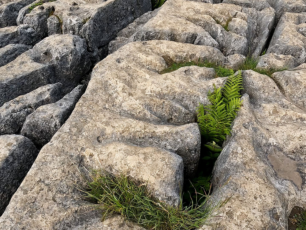
Clints and Grikes above Malham
A narrow valley or channel.
H
The low point along a ridge between two peaks, similar to a col e.g. Honister Hause.
A head torch (or headlamp as they are known in certain regions around the world) is a light that provides hands-free illumination worn on the head. They are handy for night runs or hiking in the dark. Head torches come in various brightness levels (measured in lumens) and have differing battery lives (known as burn time) and varying levels of waterproofing, as shown by their IP or IPX ratings. To find out more about these terms and our choice of best head torches, check out our best head torches guide.
I
General terms for any device that improves your footwear's grip on ice. 'Cleats' can refer to spikes, studs, or coils - context is important. In the UK, people might use 'ice grips' or 'snow grips' for the same items. They are essentially interchangeable with microspikes in casual use, though 'cleats' can also refer to stud-type devices.
K
A gate, normally wooden, hung to create a U or V shaped enclosure, that lets one person through at a time.
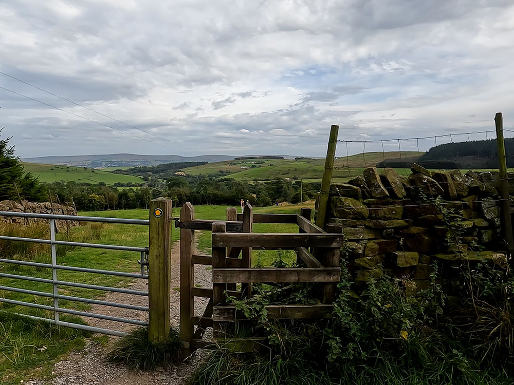
Wooden Kissing Gate
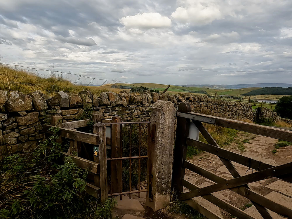
Metal Kissing Gate
A small hill or mound.
L
An expanse of bare limestone consisting of clints (large blocks of limestone) and grikes (fissures or gaps in between). Very nice to look at, but they are not the greatest walking terrain as can be very uneven and are very slippery when wet or icy.
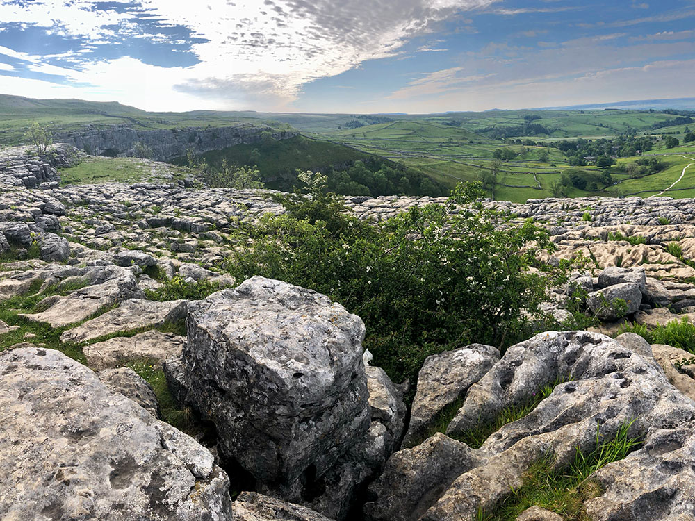
Limestone Pavement above Malham
The edge of a high piece of land.
A large area of water or inlet in Scotland, basically the equivalent of lake or sea inlet.
Loch Leven and Loch Linnhe from the Pap of Glencoe
A small loch, the Scottish equivalent of tarn.
Glencoe Lochan
A bacterial infection that can be spread to humans by diseased or infected ticks. Bracken, long grass and heather are the ideal plants to harbour ticks, so be extra vigilant when you or your dog are walking through any and ideally cover all skin. It's important to know how to remove any ticks and to do that as soon as possible.
M
A hill or mountain with a drop all around it of at least 150m (492 feet), regardless of its height. Alan Dawson, who compiled the list, named the list as a pun on the Munro classification of mountains over 3,000 feet in Scotland, so Marilyn... Munro (Monroe). According to the Hill Bagging website, there are 1,556 Marilyns in Great Britain, of which the highest is Ben Nevis at 1,345m and the lowest Maol Domhnaich at 154m. In England, the highest is Scafell Pike at 978m, and the lowest is Arnside Knott at 159m.
Looking towards the Lakeland Fells from the toposcope on Arnside Knott
A rounded hill.
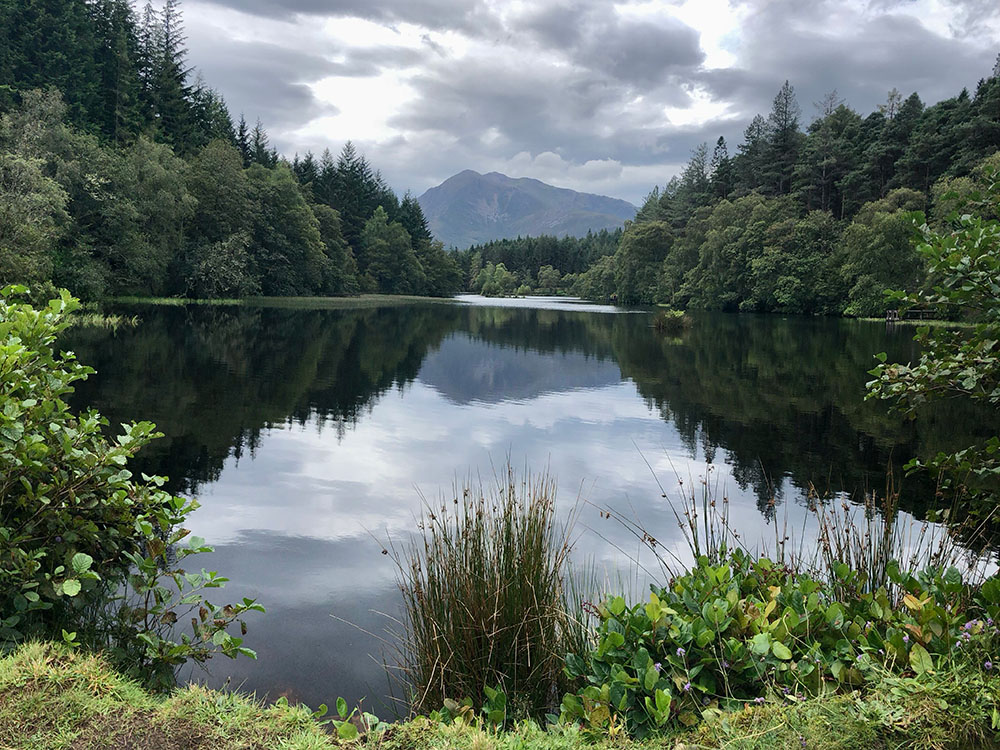
A lake, pond or wetland.
A generic term for slip-on traction devices with chains and spikes that cover the entire foot. It is now widely used to refer to any spiked winter walking aid that is not a full crampon. When someone says 'bring microspikes', they are referring to this type of device.
The word 'Microspikes' is a registered trademark of Kahtoola, dating from 2009, but it has come to be used generically for any of these lightweight, slip-on traction devices.
An area of open, uncultivated land, often rough, hilly and typically covered in heather, grass and moss.
Small but very irritating insects that bite! Available in black clouds all summer long...
In the UK, a mountain as opposed to a hill, is most commonly defined as an area of land that rises to more than 2,000 feet (610m).
A mountain in Scotland over 3,000 feet (914m) in height with sufficient separation from neighbouring peaks and is on the Scottish Mountaineering Club list, originally compiled by Sir Hugh Munro in 1891. There are currently 282 Munros. They also maintain a list of Scottish peaks over 3,000 feet that fail to meet the 'sufficient separation' from their neighbours' criteria - these are called Munro Tops and there are currently 226 of these. See https://www.smc.org.uk/hills/ for further details.
A person working to climb all of the Munros.
The activity of climbing all of the Munros.
Murdos are Scottish mountains over 3,000 feet (914m) in height, with a prominence of 30m. The list was compiled by Alan Dawson in 1995 and currently there are 442 Murdos in Scotland.
N
An individual tall, narrow tower or pinnacle of rock.
Walking with the aid of specially designed poles. With Finnish origin, it is a total body version of walking, using the upper as well as lower body. It is meant to have many benefits that are set out on the British Nordic Walking website https://britishnordicwalking.org.uk/pages/about-nordic-walking.
O
A gate, often wooden, with an open entrance and two overlapping parts, designed to restrict motorised access, but allow walkers through.
Great Britain's national mapping agency. The whole of Great Britain is covered by accurate mapping that we use on a daily basis. Whether paper maps or on an app on your phone, they are a must for all walkers. There is a free version, but you can get unlimited OS Explorer and Landranger maps on any device making it easy for you to explore the great outdoors for just the price of a coffee a month. Amongst other features, premium allows access to OS Explorer and Landranger mapping, import and export routes, save maps offline, aerial 3D, and print A3/A4 maps.
Explore further and sign up for the OS Mapping App
A rock face where the slope angle exceeds 90°, so slopes beyond vertical.
P
Snow that has been compressed (by foot traffic, vehicles, or wind) into a denser, often hard layer. It can be almost as slippery as ice, especially when refrozen. Microspikes are great on packed snow because the spikes grip into it for better traction.
A route through a mountain range or a low point of access to pass from one valley to another between mountains. If you are following the lowest route possible, the pass will be the highest point on your route.
A mountain or hill having a peaked summit sharp well defined mountain peak e.g. Scafell Pike.
A vertical narrow column of rock, often in the shape of a spire, similar to a pinnacle.
An individual column of rock isolated from other rocks in the shape of a spire.
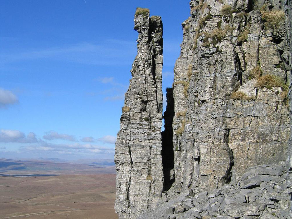
Pinnacle on Pen-y-ghent
R
A long, narrow piece of ground consisting of a chain of mountains or hills that form a continuous elevated crest. The sides of the ridge fall away from the narrow top e.g. Striding Edge in the Lake District.
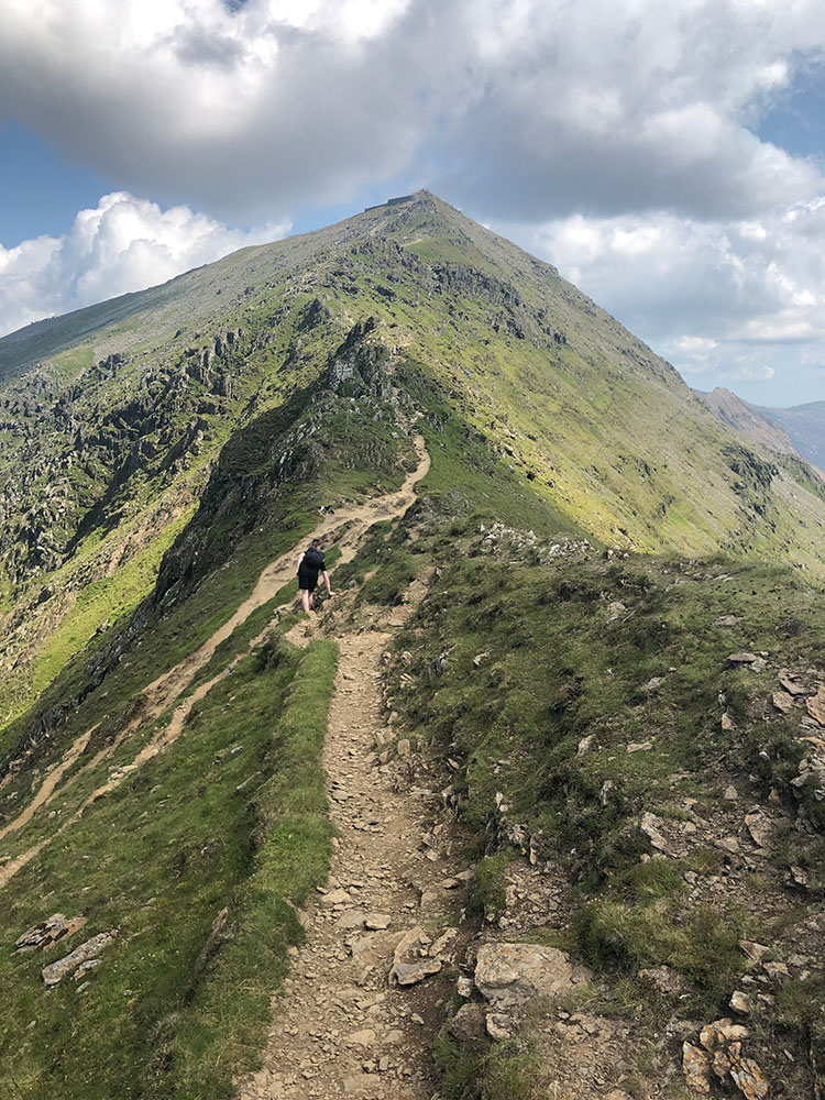
Ridge on Cambrian Way heading towards Snowdon
You can access some land across England and Wales without having to use paths - this land is known as 'open access land' or 'access land'. Access land includes mountains, moors, heaths and downs that are privately owned. Your right to access this land is called the 'right to roam', or 'freedom to roam' - there are many things you cannot do in this land though as set out on the government's website: https://www.gov.uk/right-of-way-open-access-land/use-your-right-to-roam. There are similar but not quite as strict provisions in Scotland.
S
An exposed cliff, generally limestone.
Attermire Scar
Somewhere between hill walking and rock climbing lies scrambling, where hands are needed to pass over rocks, boulders or scree. There are different grades of scrambling as set out on the BMS website: https://www.thebmc.co.uk/understanding-scrambling-grades.
Small, loose stones and rocky debris that cover or form a slope on a mountain or hill. Often takes quite a while to walk over it as feet keep slipping backwards!
The art of running down a slope of scree.
See Sit Mat
A crater or depression formed when the underlying rock has collapsed. They are quite often found in groups.
The part of the hill or mountain where it curves towards the top.
A hole in soluble ground (limestone, chalk etc.) that is created by water erosion, where surface water disappears underground.
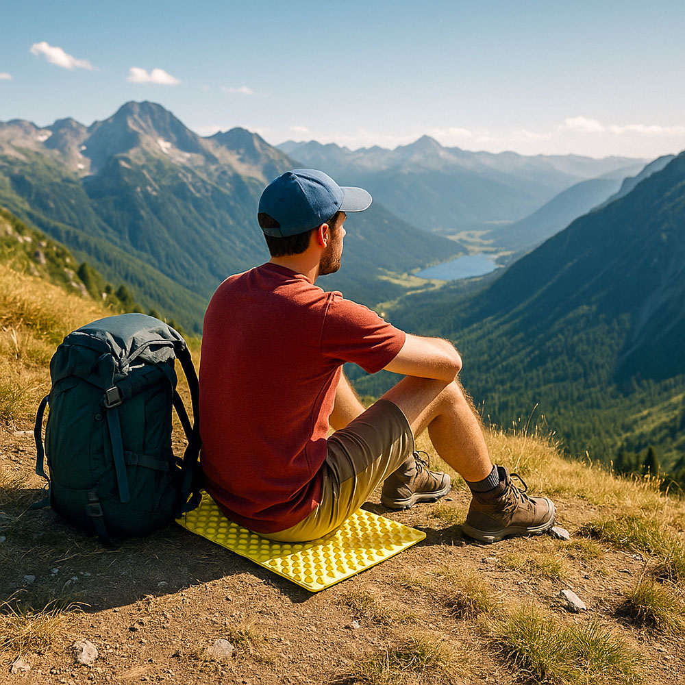
Sit mats, sometimes called sit pads or seat cushions, are compact mats designed for sitting. They offer warmth, dryness, and comfort while serving as a convenient barrier against cold, damp, or uneven surfaces. From ultralight foam pads to plush self-inflating cushions and seats with backrests, there's an option to suit every outdoor activity and personal taste. No matter your choice, a quality seat pad is a small accessory that significantly enhances comfort, making you wonder how you ever sat on cold stone or wet grass without one!
See Sit Mat
A generally large, flat area of rock.
People sometimes refer to microspikes as 'snow chains for your shoes' to draw an analogy with car snow chains. When they do, they mean devices such as Yaktrax or microspikes, which essentially function like tyre chains by providing a metal grip around the shoe.
A spring or waterfall e.g. Spout Force Waterfall in the Lake District.
A steel alloy containing chromium that resists rust. It is commonly used in higher-end microspikes for chains and spikes. This means that if you forget to dry them once, they won't immediately rust, though surface rust can still form. It requires less maintenance than bare steel.
Generally wooden or stone steps that allow you to easily climb over a wall or fence. They come in many different types.
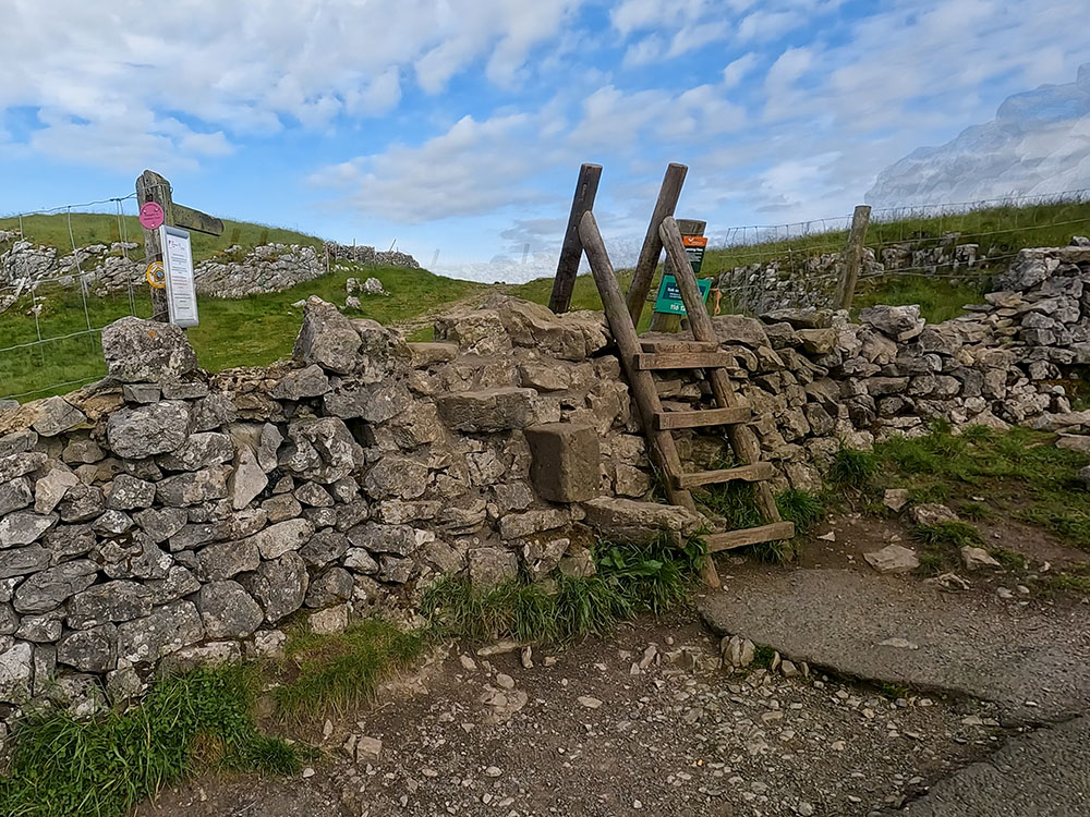
Wooden stile
A stubby summit or pointy sharper peaked mountain e.g. Stob Binnein.
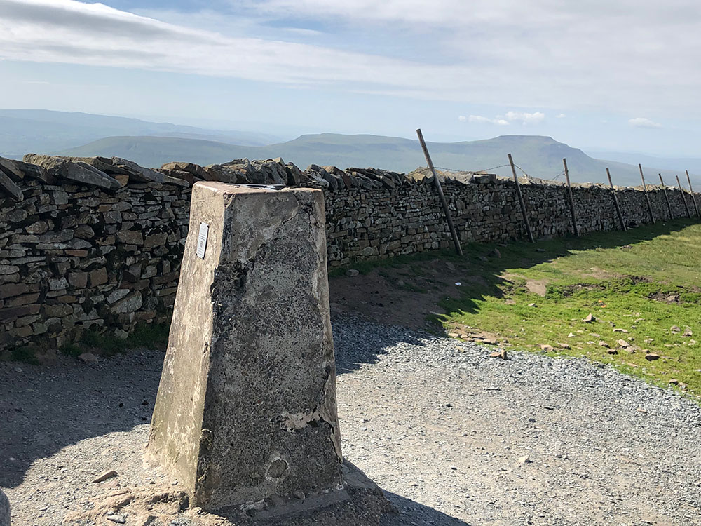
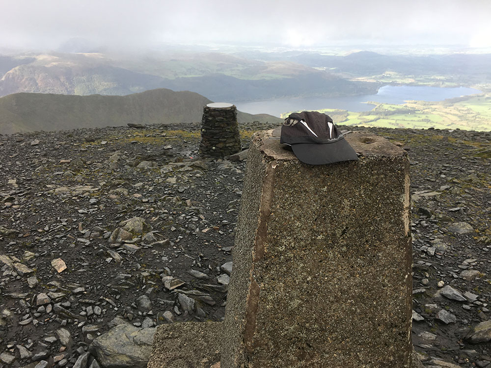
The highest point of a hill or mountain, often marked with a trig point or cairn.
A hole in soluble ground (limestone, chalk etc.) where a stream disappears underground.
A gate in a fence or wall, which swings in either direction and has a spring to close it once released.
A path that zig-zags up a steep section of a hill or mountain, rather than having to try to walk straight up it.
T
A mixture of broken stone and tar that provides a hard, smooth surface on a road or track, depending on your origin, you may know it as asphalt or sealed road or track.
A small mountain lake or pool. Generally, tarns are found in corries, which have been formed by glacial erosion.
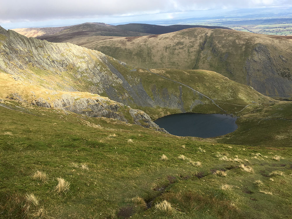
Scales Tarn on Blencathra
A tract of land that has been cleared in forests or woods. Over time, some of these developed into villages e.g. Braithwaite in the Lake District. Thought to have been derived from the old Norse word 'Thveit' meaning clearing.
A peak of a mountain or hill.
In its simplest sense, it just means to cross or travel over something, but in hill walking it is also taken to mean a route following a lesser slope than the straight-up one, effectively heading up, but to the side at the same time, so more of a sloping diagonal path. It makes walking easier on very steep climbs.
The level of a mountain above which there are no trees.
A concrete pillar, usually about 4 feet high, built from 1936 onwards by surveyors at the Ordnance Survey to begin the retriangulation of Great Britain. They are generally found on the highest points of hills or mountains. Just over 6,500 trig pillars were built between 1936 and 1962, the majority of which still stand today.
On a map, they are identified by a blue triangle with a blue dot in the middle. Want to find out more about Trig Points and see some more photos of them... then check out our separate blog here.
Triangulation Pillar on Whernside
Trig Point on Skiddaw
Another name for a Triangulation Pillar.
A very hard metal compound used in small studs or spikes on some cleats (e.g., Nanospikes). Harder than steel and retains its sharpness longer, but it can be more brittle. It is usually suitable for small studs, though. Enables use on pavements with minimal wear.
V
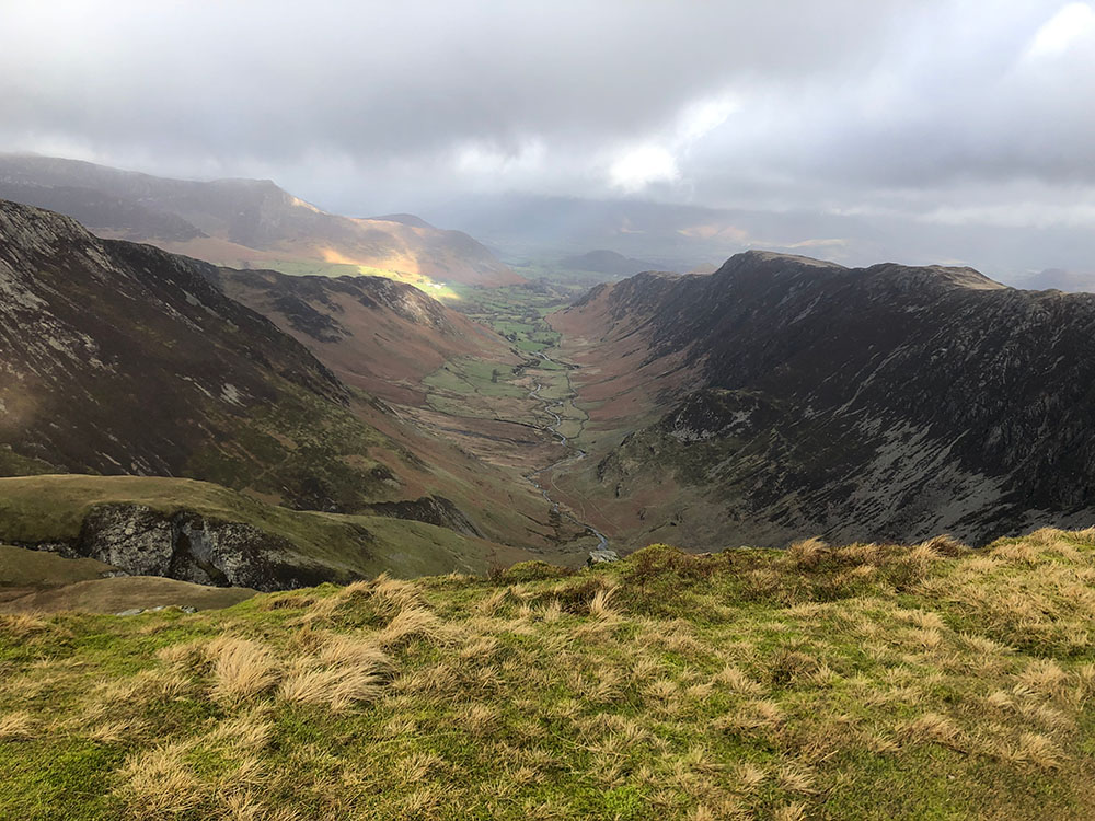
A low area of land, usually 'U' or 'V' shaped between hills or mountains, often with a stream passing through it.
Newlands Valley in the Lake District
A thin layer of ice glaze on rock or pavement. Extremely hazardous because it is often nearly invisible and too thin for crampon spikes to grip effectively. Studded cleats or numerous small spikes can improve traction on verglas, but it remains very tricky. The term originates from French and is used in mountaineering to describe thin ice on rock surfaces.
W
The 214 Lakeland peaks described in great detail by Alfred Wainwright in his seven-volume Pictorial Guide to the Lakeland Fells. He later published The Outlying Fells of Lakeland, which included a further 116 summits. The books are a must for every walker!
If you want to buy a set, click here.
Unlike Munros or other hill/mountain lists, Wainwright never set out firm guidelines as to what constituted a 'Wainwright'. Of the Wainwrights, Scafell Pike is the highest at 978m and Castle Crag the lowest at 214m.
Check out our interactive map of the Wainwright Fells, which includes a list of all the Wainwrights by book and all the Outlying Fells.
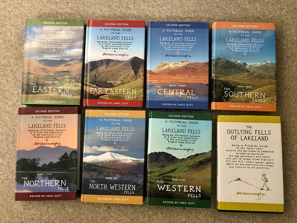
Wainwright Pictorial Guide to the Lakeland Fells books and the Outlying Fells Lakeland book
A measure of the cooling effect of the wind on the air temperature, taking into account wind speed and humidity.
Classes are often recommended for hillwalkers transitioning to winter. They teach the use of an ice axe and crampons, and how to assess snow conditions. Microspikes don't negate the need for basic winter skills in the mountains, such as self-arrest and navigation in snow.
Hope you enjoyed the list... If you think we've missed any please let us know here.
December 2022

.jpg)