By using this website, you agree to our use of cookies (needed to provide our website’s features) and our Terms of Use.

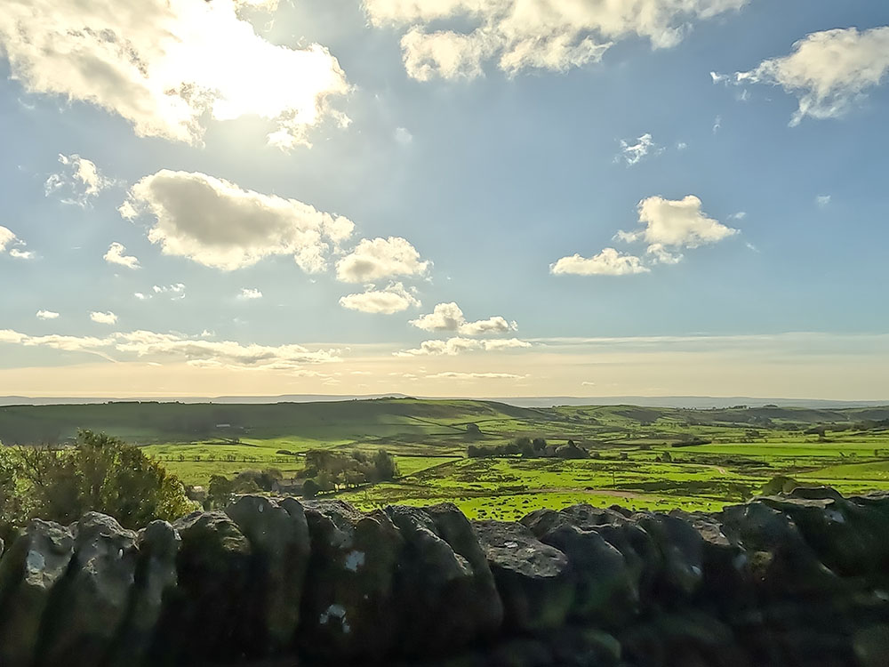
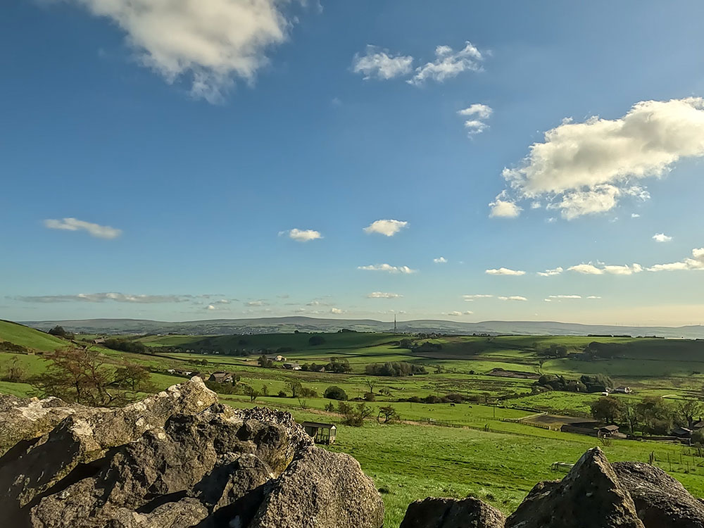
This Pendle Witches Walk from Barley, walks you through the story of the Pendle Witches, exploring delightful countryside and all things 'witchy' along the way.
In accordance with our Disclaimer, you agree to take full responsibility for any use you make of the information contained in these pages.
This page contains affiliate links. If you buy products or services via these links, we may earn a small commission at no cost to you.
| Walk title: | The Pendle Witches Walk (East and West Loops) from Barley |
| Author: | Andrew Forrest - October 2023 |
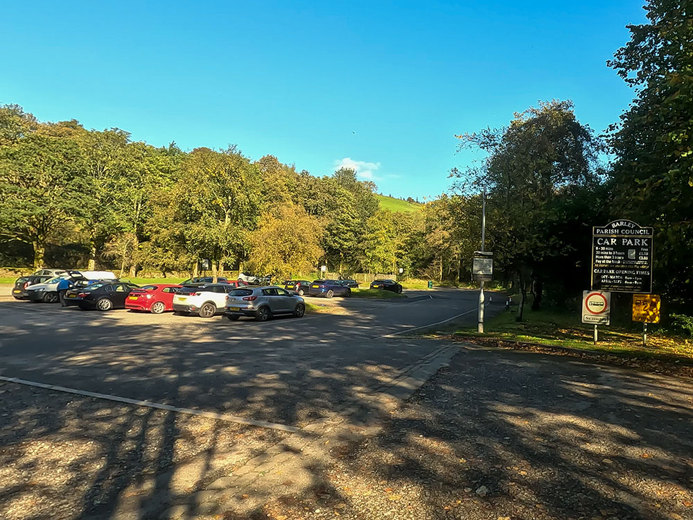
| Walk start point: | Pay and display car park in the centre of Barley (grid reference SD 823 403) - it can get busy at weekends and bank holidays. What3words: deriving.untruth.bloomers |
| Parking: | As above |
| Directions to nearest parking place: | Google Maps: get directions here / What3words: clays.label.found |
| Walk distance: | 11.6 km (East Loop: 5.7 km, West Loop: 5.9 km) |
| Estimated walk time: | 3 hours 15 minutes (East Loop: 1 hour 30 minutes, West Loop: 1 hour 45 minutes) |
| Height climbed: | 380 metres (East Loop 150 metres, West Loop 230 metres) |
| Technical difficulty: | Moderate - as determined by our interpretation of the Ordnance Survey guidance on technical difficulties |
| Peaks / summits: | None of note |
| Map: | Ordnance Survey - Explorer OL41 (Forest of Bowland & Ribblesdale) Buy this map from Ordnance Survey |
| GPS/GPX file: | Download available to registered users - Register and Login here - It's FREE to register |
| Facilities / refreshments: | Toilets and the Cabin Café in the car park at Barley. Pubs: Pendle Inn and Barley Mow in Barley and Bay Horse Inn in Roughlee |
| Nearest town: | Walk starts in Barley |
| Local self-catering accommodation: | View self-catering accommodation close to the start of this walk |
Estimated walk time
Walk time estimates used are from the Ordnance Survey mapping app, which uses a refined Naismith's rule, adjusted by OS overlaying their own data collected from more than one million people using the OS mapping app. Naismith's rule allowed one hour for every three miles walked and added pro-rata an additional hour for every 2000ft of ascent - roughly one hour for every 5km, plus one hour for every 600m of ascent.
Ordnance Survey Mapping App
Use on any device and make it easy to explore the great outdoors for just the price of a coffee a month. Premium allows full UK access to all OS Explorer and Landranger mapping, along with the ability to import and export routes, save maps offline, aerial 3D, and print A3/A4 maps.
This Pendle Witches Walk from Barley in the Forest of Bowland in Lancashire consists of an Eastern and Western loop, which takes approximately 3 hours and 15 minutes in total, or you could just walk one of the loops in about half that time.
For the Western loop of the Pendle Witches Walk, we start in the car park in Barley, before climbing towards Newchurch in Pendle, which affords great views of Lower Ogden Reservoir and Pendle Hill along the way.
In Newchurch in Pendle, we visit the Witches Galore shop where you can pick up your spooky souvenirs and then head down the road to St Mary's Church. At the church you can see the 'Eye of God' built into the church tower and then the so-called 'Witches Grave' with a skull and crossbones inscription on it.
From Newchurch in Pendle, we head past Faughs' quarry before climbing Driver Height, which gives us wonderful panoramic views of the Ogden Valley, Pendle Hill and out as far as the Yorkshire Three Peaks.
We then return to Barley passing by the picturesque Upper and Lower Ogden reservoirs.
For the Eastern loop of the Pendle Witches Walk, we again start in the car park in Barley and head alongside Pendle Water before leaving it to head through the wood by White Hough outdoor centre.
We then head along the road towards Hollin Top that again affords wonderful views down over Roughlee and beyond and then drop down the Pendle Way into Roughlee, before passing by Roughlee Old Hall, the Bay Horse, the Alice Nutter statue and Roughlee's waterfall.
From there it's back along Pendle Water and then the walled Heys Lane with its views of Pendle Hill back into Barley.
This full Pendle Witches Walk from Barley is shown in the video and the route for the walk is shown on the Ordnance Survey map - both above.
Below is a brief description of the walk. Places where you can eat and drink after the walk are shown at the end of the video.
We start the walk from the car park in Barley, in the Forest of Bowland in Lancashire. The Pendle Witches Walk is split into an Eastern and Western loop, both starting from the Barley car park so you can do either one or join them together into one longer walk of 11.6 kilometres, which is just over seven miles.
The Pendle Witches Walk starts from the car park in Barley
We start this Western leg of the Pendle Witches Walk by heading out of the car park by the car entrance and then turning right heading along the pavement. Upon reaching the road junction, cross over the road and head down the road opposite which initially passes by the Barley Village Hall.
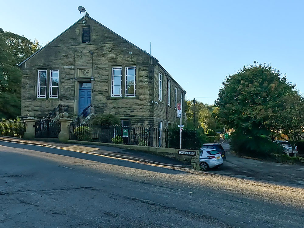
Passing by Barley Village Hall
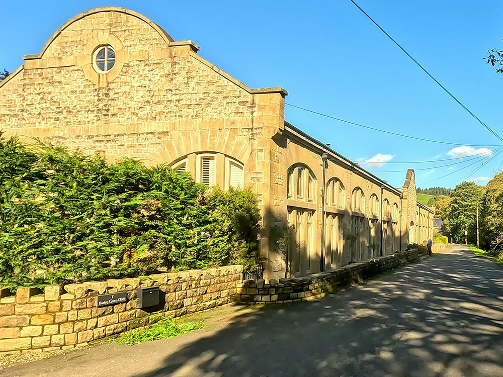
Follow the road around past the old waterworks building, which is now residential houses, shortly after which you reach a bridge on the left-hand side.
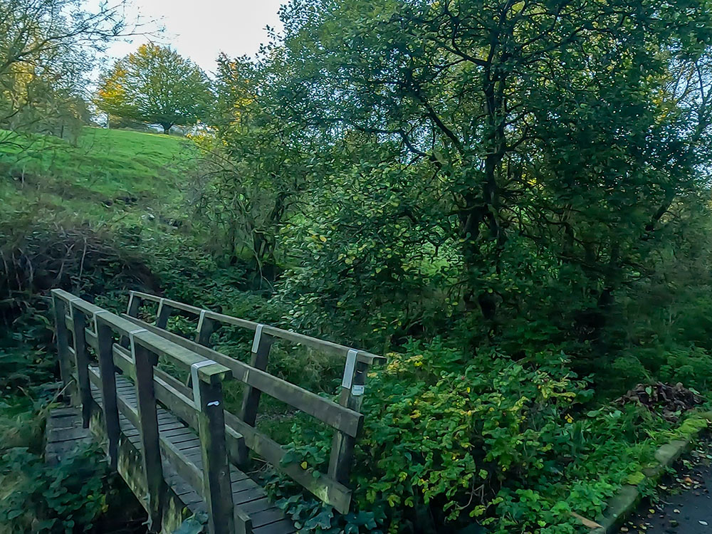
Crossing over the wooden bridge on the Pendle Witches Walk
Just by the side of the bridge, you may notice a small plaque on the ground showing that this is part of the Pendle Pub Walk, which is an annual walk each June, raising money for Pendleside Hospice. The walk itself is usually just over ten miles and passes by numerous pubs along the way.
Head over the wooden footbridge and then turn right to head through the gate. From the gate, immediately cross over the small stream and then head uphill, diagonally right following the wooden way marker.
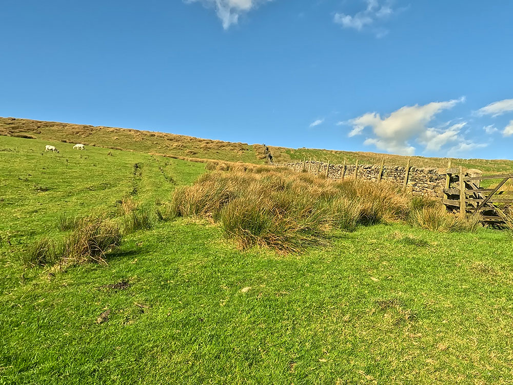
The path then heads up to a stone stile built in the wall. Pass over the stone stile. On the back of the wall is another sign for the Pendle Pub Walk. If you look around, you now get a view over to the right of Pendle Hill.
We continue the walk by heading away from the wall, uphill, on approximately the same line that you approached it on. As you get over the first rise, you can see a house ahead. You need to head to the right-hand corner of the house.
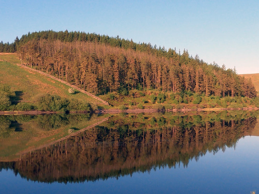
With this small amount of height gain, you can now see Lower Ogden Reservoir around to the right with its dam, along with Pendle Hill behind it.
Looking across to Pendle Hill and the dam at Lower Ogden Reservoir
Continue up the field past the next wooden waymarker.
Passing by a wooden waymarker
Then, at the next wooden waymarker by the corner of a partly fallen down wall, head more diagonally right, initially along the side of the wall towards the next little wooden way marker just ahead.
Walk on towards the footpath sign on the horizon. Just before reaching it, we pass through the tumbledown wall where, if you look around to the right, there is an even better view of Pendle Hill and Lower Ogden Reservoir down below. Further around to the right you can see back down to Barley.
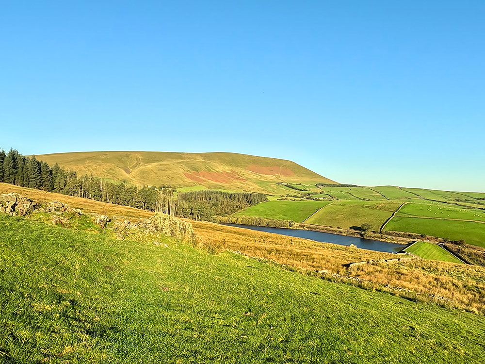
Looking across to Pendle Hill and Lower Ogden Reservoir
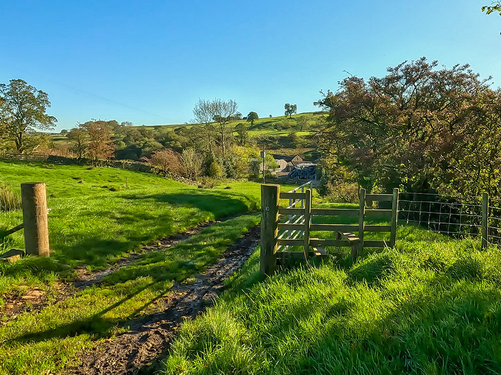
Upon reaching the four-way signpost, turn left and then continue uphill to soon pass through a tumbledown wall and then head on to the wall stile just to the left of the gate in the wall ahead. Pass over the wall stile where we now meet up with the Pendle Way before we head on to Newchurch.
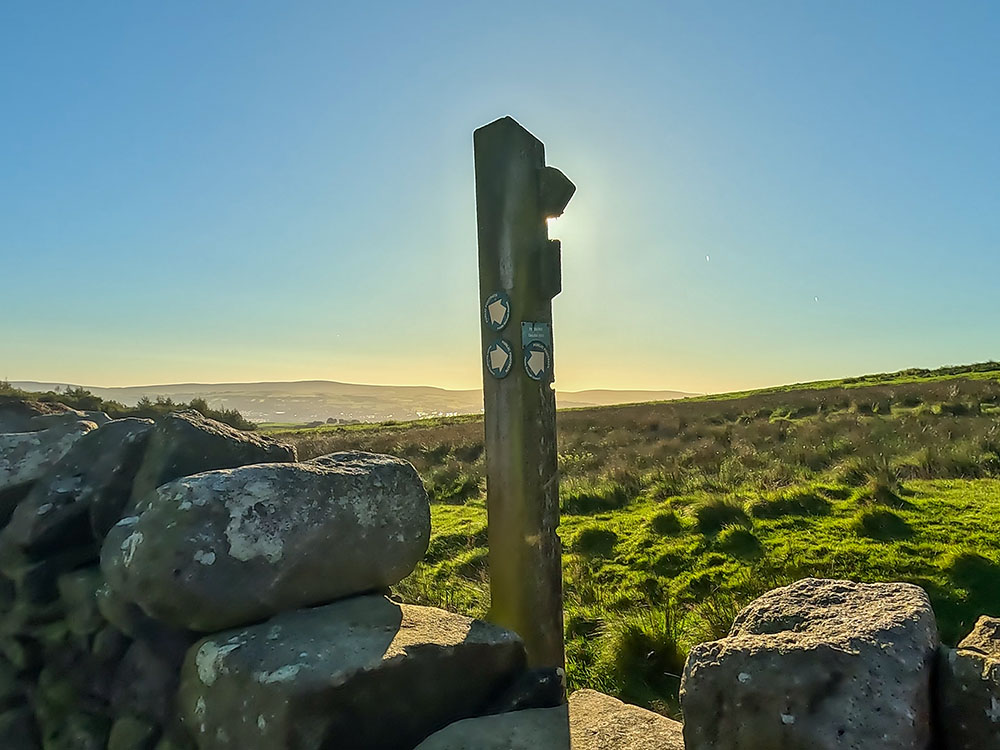
Crossing over the wall and meeting up with the Pendle Way
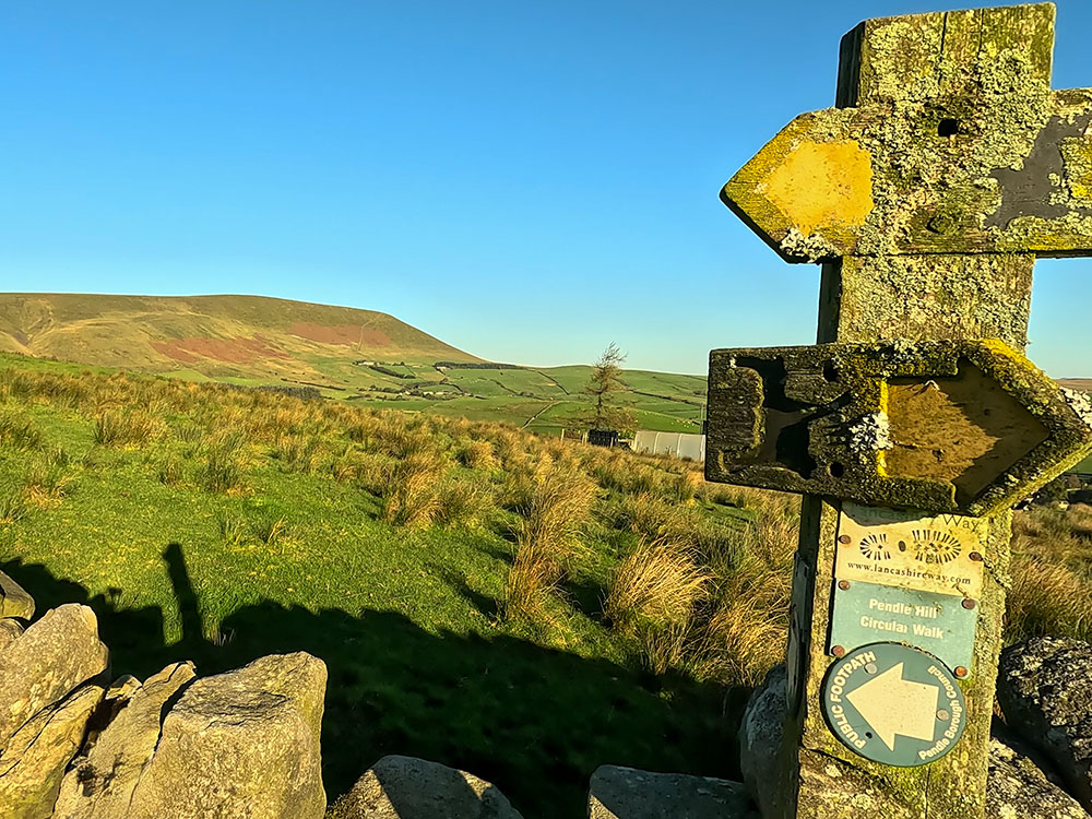
Looking back over the wall towards Pendle Hill from the Pendle Way footpath sign
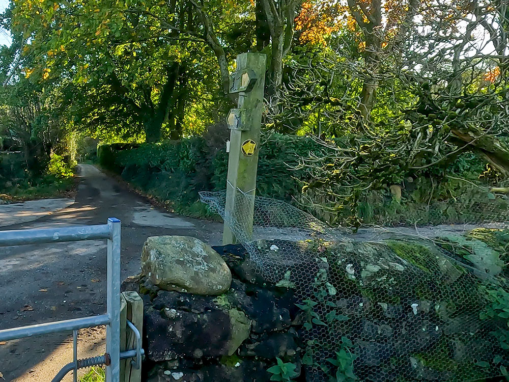
If you look behind, there is a great view now back over towards Pendle Hill. The Pendle Way footpath is mainly marked by wooden waymarkers with this black witch painted on them. The Pendle Way is a 45-mile circular route starting and ending in the Pendle Heritage Centre in Barrowford and passes through Barnoldswick, Thornton in Craven, Wycoller, Reedley, Newchurch and goes over Pendle Hill itself.
Follow the footpath sign heading diagonally left away from the wall now on the line to the right-hand edge of the trees ahead. As we progress along, Newchurch in Pendle is visible just below us.
Dropping down into Newchurch in Pendle
Before reaching Newchurch in Pendle, we'll just summarise the Pendle Witches story, so that the places you pass on the walk have a bit more meaning.
The Pendle Witches were a group of people accused of witchcraft in 17th-century England. The events all took place in 1612 in the areas around Pendle Hill, with the trial taking place in Lancaster.
The events surrounding the Pendle Witches are some of the most famous witch trials in English history.
The main figures amongst the Pendle Witches were Elizabeth Southerns also known as Demdike and Anne Whittle, who was also known as Chattox. These women, along with certain members of their families and associates, including Alice Nutter from Roughlee were accused of practising witchcraft. The accusation stemmed from various local disputes and superstitious beliefs held at the time.
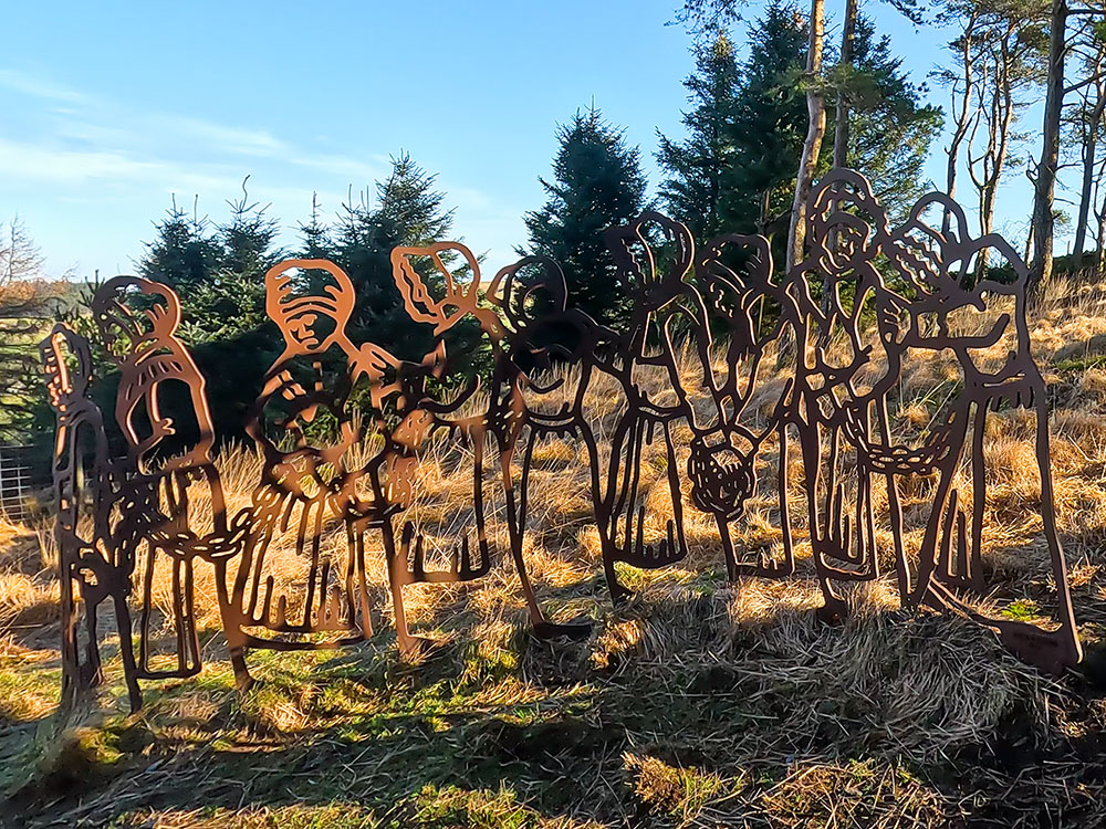
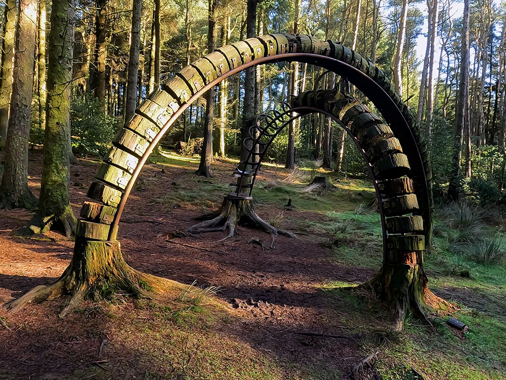
Chained Witches in the Pendle Sculpture Trail
If you want to see the sculpture of the witches in chains, the witchfinder general or other spooky sculptures, then check out the Pendle Sculpture Trail.
12 people were charged with witchcraft and with the murders of 10 people by the use of witchcraft. Amazingly, a key witness for the prosecution was Jennet Device, who was only nine years old at the time. That would not normally have been allowed, but this, after all, was a witch trial.
9 of the 12 accused (John Bulcock and Jane Bulcock, Alizon Device, Elizabeth Device, James Device, Katherine Hewitt, Alice Nutter, Anne Redferne and Anne Whittle) were found guilty and hanged at Gallows Hill in Lancaster in August 1612. Elizabeth Southerns died in the cells at Lancaster while awaiting the trial. Jennet Preston, who lived in Gisburn, was tried in York and then also hung in York in July 1612. Only one of the accused, Alice Grey, was found not guilty.
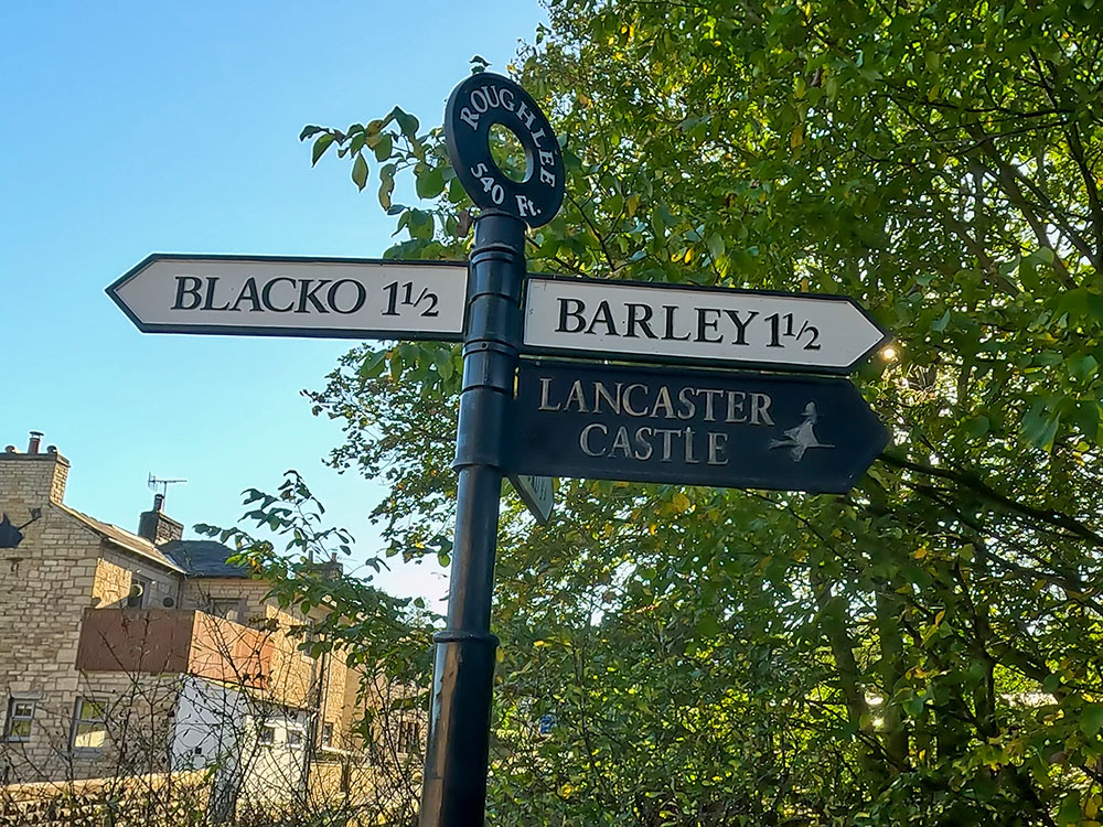
The road sign in Roughlee, also including the witches' sign to Lancaster Castle
The trials and executions of the Pendle Witches left an enduring imprint on Pendle history, serving as a reminder of the injustices and superstitions of the past. Many reminders of the witches live on locally today including bus routes with the Pendle Witch way, the Witches Galore shop and many beers by local brewers Moorhouses, including the White Witch, Blonde Witch, Broomstick Bitter and the Witchfinder General amongst others not forgetting the Ice Witch, which is my favourite of theirs with its citrus and fruity flavour.
One last 'witchy' fact, Barley and the nearby Barrowford have both held the Guinness World Record for the record number of people dressed as witches in one location, Barley in 2012 on the 400th anniversary of the Pendle Witch trials and Barrowford in 2022.
If you want more details on Pendle Hill and the Pendle Witches, check out our Ultimate Guide to Pendle Hill.
Back to the walk, we head down to and then pass through a wooden gate and then turn right to head down the hill, where we quickly pass through another gate. Once through the gate, just head down the steps to reach the road that runs through Newchurch in Pendle.
For the onward walk, we are going to turn right here, but first, around to the left, is an information board about Newchurch in Pendle. Then, if you need them, just past that, there are some toilets and just past that if you want to visit it is the Witches Galore shop.
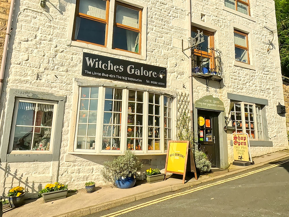
Witches Galore shop in Newchurch in Pendle
In the Witches Galore shop, you will find lots of souvenirs and gruesome gift ideas.
From the Witches Galore shop we head back downhill 100 metres or so, to the Church of St Mary. Enter into the churchyard.
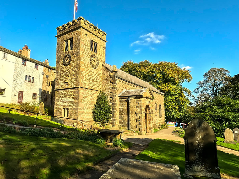
St Mary's Church in Newchurch in Pendle
If you look closely at the church tower, you will see the so-called 'Eye of God' painted on its side, which is there to ward off evil.
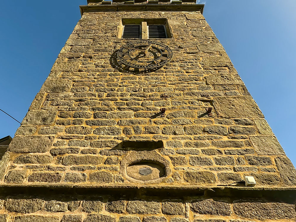
'Eye of God' in St Mary's Church tower in Newchurch in Pendle
If you look down the side of the church, there is a so-called 'Witches Grave', which is inscribed with the name Nutter. Local folklore suggests that this is the final resting place of Alice Nutter, one of the Pendle witches.
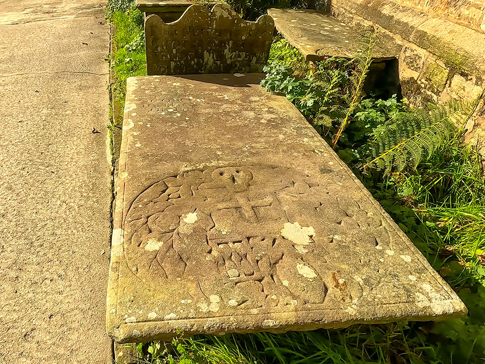
The 'witches' grave in Newchurch in Pendle
However, this is highly unlikely as executed witches were rarely buried in holy ground and the skull and crossbones symbol was quite common on graves at the time, making the legend probably more myth, than fact. But whenever has that stopped a good story? The faded date is also too late to be Alice Nutter's grave.
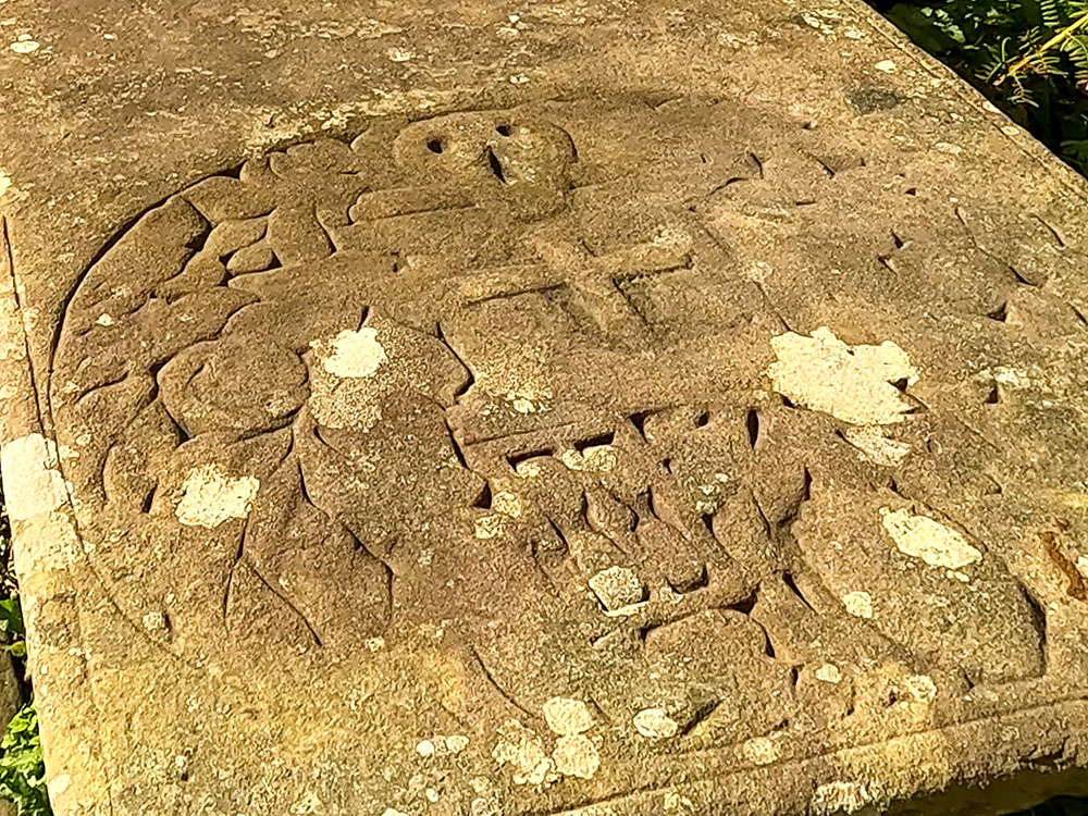
Skull and crossbones on the 'witches' grave
Head back out of the churchyard and then, upon meeting the road, turn left. Then after about 30 metres, we take the road off to the right where the road splits, following the sign for Sabden Fold.
Well Head Road towards Sabden Fold
Head along the road and after about 200 metres when you reach a metal gate on the right, if you look over the wall to the left, the buildings in the valley below are Moss End and beyond that, Bull Hole.
Looking over Moss End and Bull Hole
Back to the Pendle witches' story, Moss End Farm was home to Jane Bulcock and her son John, who were fellow accused and were found guilty of murder by witchcraft and executed at Lancaster whilst Bull Hole Farm was believed to be the home of John Nutter, who had two of his cows die, supposedly killed by witchcraft, one by Chattox and the other by Demdike.
Around the next bend is another gate. This is the entrance to Faughs' quarry. Back with the witches again, Demdike claimed to have met the devil here in Faughs' quarry, with the devil at that time taking the shape of a young boy named Tib.
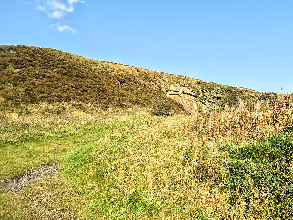
Faughs' Quarry
Continue along the road. About 600 metres further on you pass by the entrance to the Shekinah Christian Centre, which was previously Sadler's Farm on the left of the road. Sadler's Farm is a possible site for Demdike's home Malkin Tower, but no one knows for sure.
Another possible site is near the current Malkin Tower Farm at Blacko or even the remains unearthed in 2011 near Lower Black Moss Reservoir of a cottage complete with a mummified cat.
View from Well Head Road
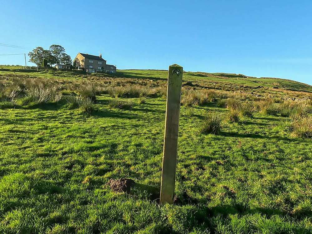
A further 100 metres or so further on, just as the road starts to descend, there is a large driveway on the right-hand side. Immediately after that, we turn right over the stone stile built into the wall. Once over the stile, we start to head up the field, keeping just to the left-hand side of the wall.
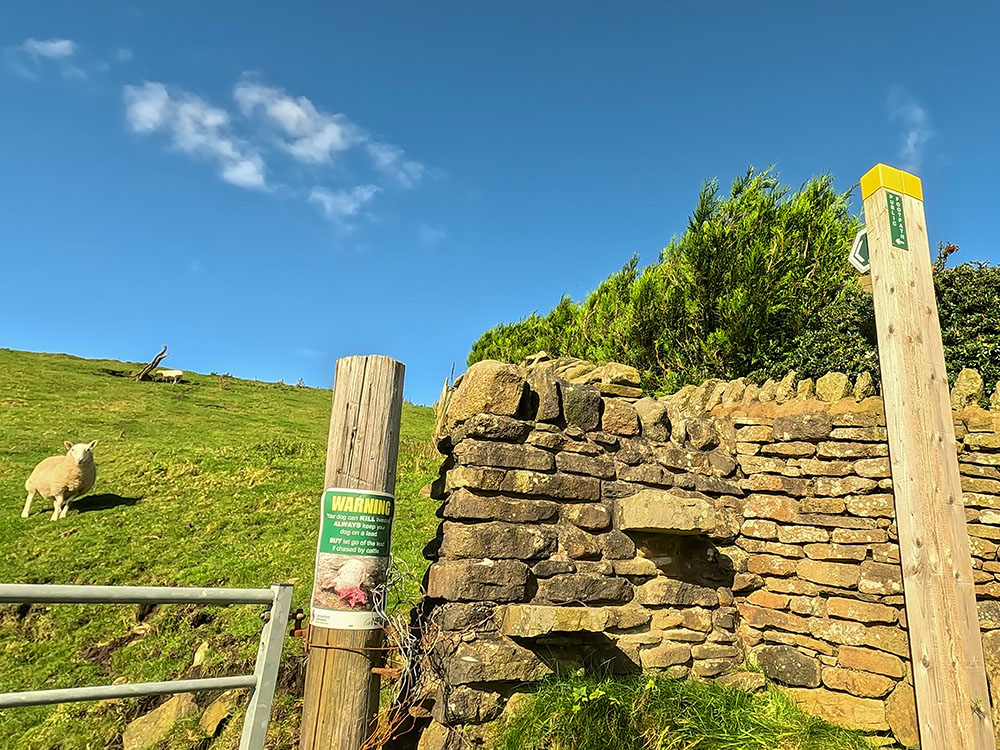
Wall stile to head up towards Driver Height
Take time to stop every so often and look around to admire the ever-expanding views. Continuing on, walk through the gate in the wall and continue straight ahead to head onto Driver Height.
Heading up Driver Height
Looking back from Driver Height towards Lower Sabden Fold, Bull Hole, Moss End and beyond
As you reach the top of Driver Height, if you look around, there is an excellent 360-panorama. If there has been any recent rain, a few parts of this walk can get a little boggy, so waterproof walking or hiking boots are recommended or waterproof shoes.
Pendle Hill from Driver Height
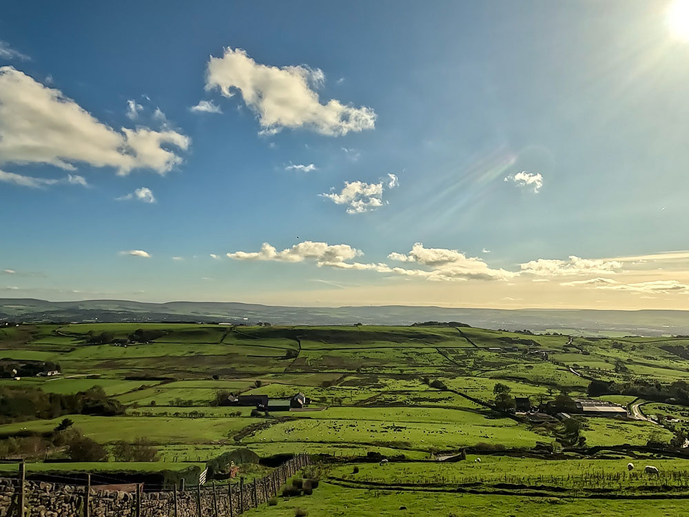
Just a little further on over to the left, you can see the top of Ogden Clough Valley, and then if you look just to the right of Pendle Hill, you can see the faint outline of the Yorkshire Three Peaks.
If looking at Pendle Hill has given you a yearning for walking over it, then why not try our Pendle Hill walk from Barley via the steps, or our more picturesque (well in our opinion anyway) Pendle Hill walk from Barley via either Ogden Clough or Boar Clough. Or, if you want to walk up Pendle Hill from he opposite side, why not give our Pendle Hill from Downham walk a try.
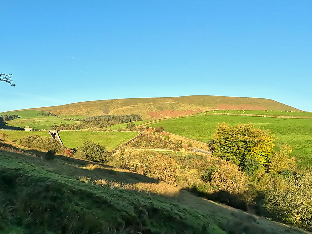
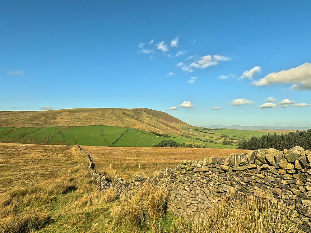
Continue straight on and then when you reach the footpath sign next to the partly tumbledown wall, we again just walk straight to follow the path that heads downhill but slowly moves away from the wall. The path heads down to the dam end of Upper Ogden Reservoir.
Dropping down towards Upper Ogden Reservoir with Pendle Hill in the background
If you look over to the left, you can see up the Ogden Clough Valley and around to the right is Fell Wood. For now, just continue down the path. We are just heading down to the gate visible in the wall ahead.
Gate to pass down to Upper Ogden Reservoir
Pass through the gate and then down to the right you can see through to the Lower Ogden Reservoir. Head down the steps and then if you look over to the left, you can see the overflow chute and over to the right, you can see the overflow chute heading down in the direction of Lower Ogden Reservoir, which we will be walking by shortly.
Looking up Ogden Clough from Upper Ogden Reservoir
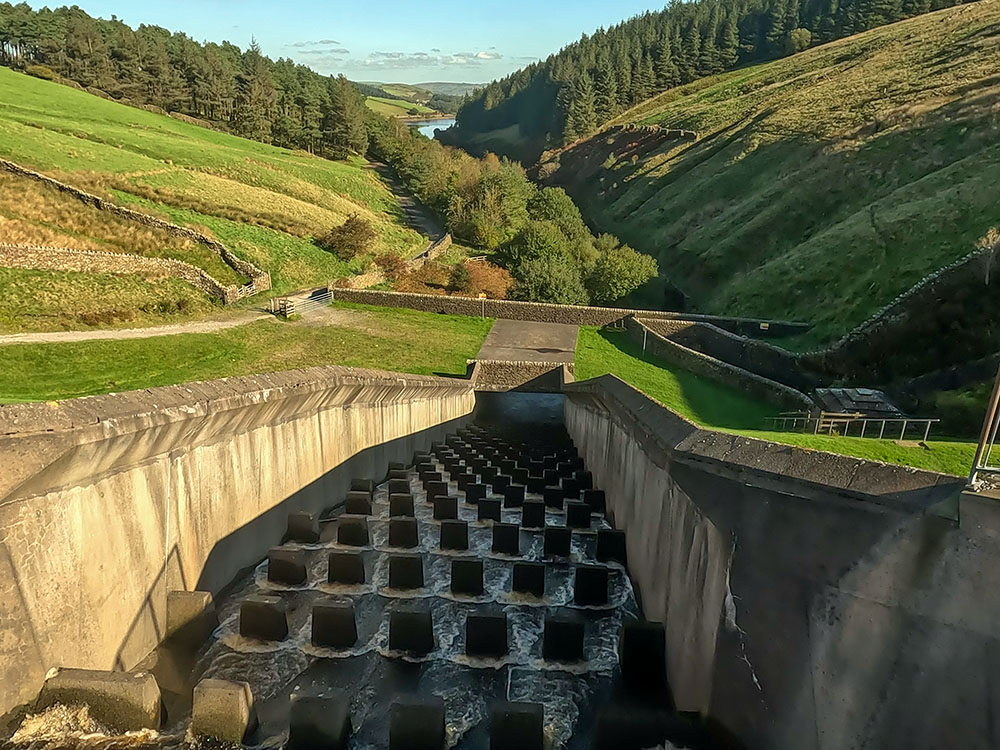
Looking down the overflow chute at Upper Ogden Reservoir down towards Lower Ogden Reservoir
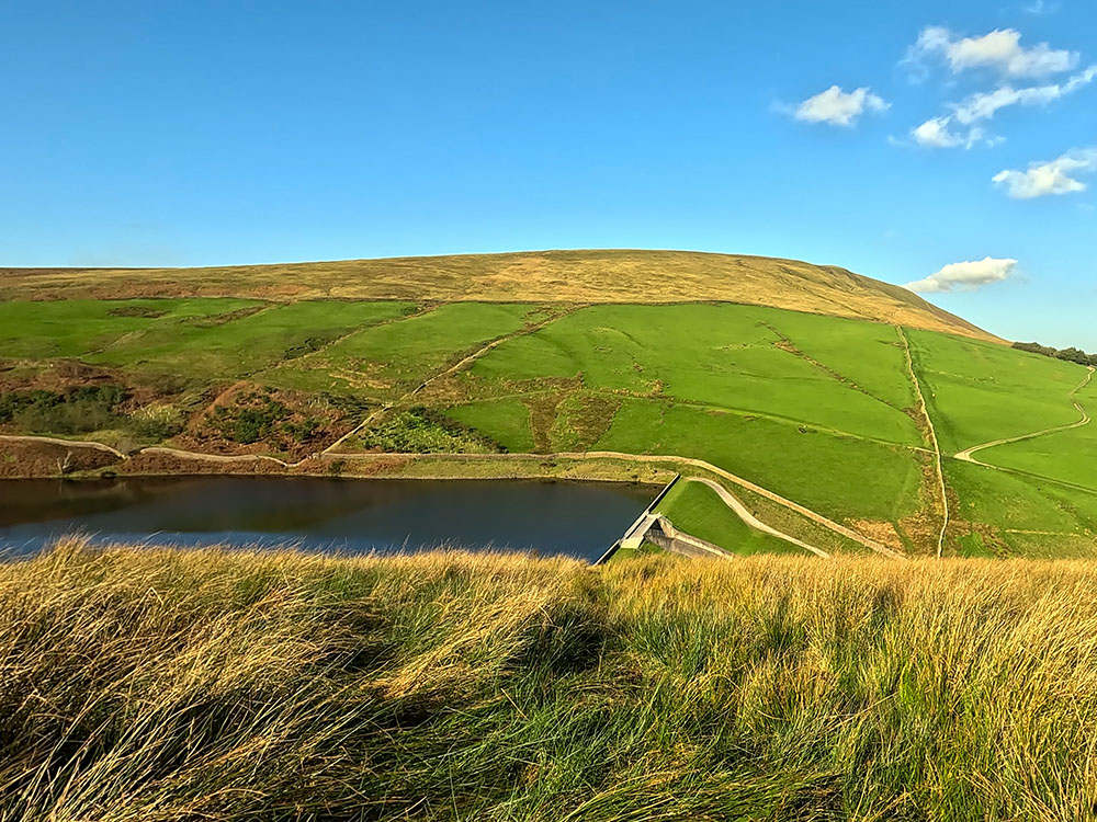
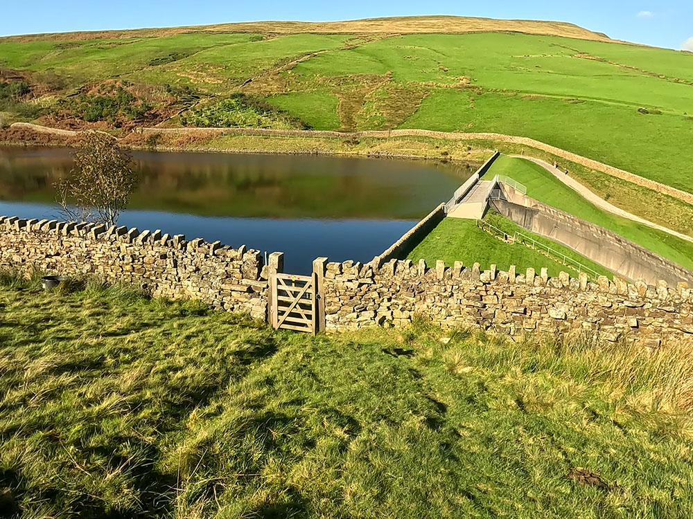
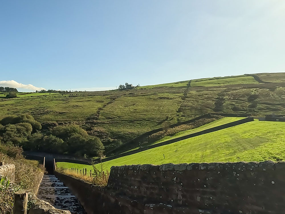
Walk across the head of the dam. Upper Ogden Reservoir was completed in 1906 with a surface area of approximately 28,000 square metres and is 17.9 metres deep at its deepest point. It can hold 54 and a half million gallons of water. To continue, head across the dam, at the end of which there is a signpost telling you about the Ogden reservoirs.
Upper Ogden Reservoir
From here we turn right and walk downhill towards the gate in the wall at the bottom.
The gate just below Upper Ogden Reservoir
Pass through the kissing gate and walk down the track ahead. You can walk down this track back into Barley back to the car park.
However, a few yards further on there is a gate on the right-hand side through which there is a concessionary footpath. Generally, when it's not too wet, I go back this way.
The gate through which there is the concessionary footpath back towards Barley
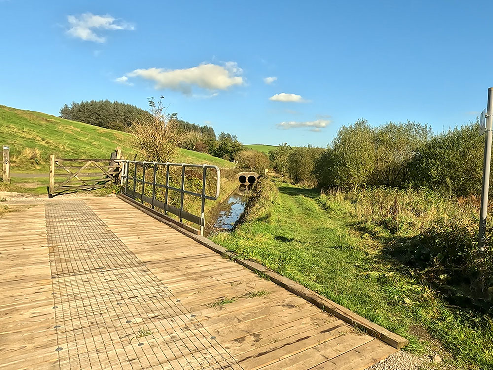
To use the concessionary footpath, pass through the gate and turn left to head down the path that keeps reasonably parallel to the road and with the stream down to the right of us.
At one point after about 500 metres, there is a bridge on the left that leads back over onto the lane we left to head down this concessionary footpath. We ignore that and go straight on down the side of Lower Ogden Reservoir.
Wooden bridge from concessionary footpath back to the lane
Concessionary footpath between overflow channel and Lower Ogden Reservoir
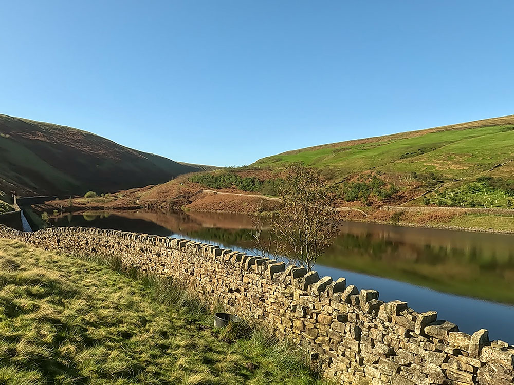
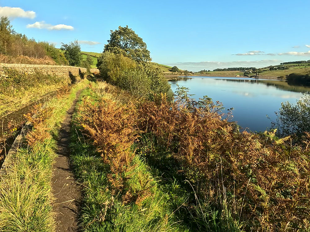
Lower Ogden Reservoir was completed in 1914 and is the larger of the two Ogden Clough reservoirs with a surface area of approximately 85,000 square metres. At its deepest point is 18 metres deep and it can hold approximately 158 million gallons of water.
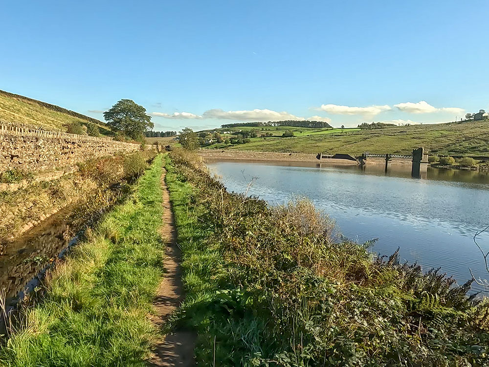
Concessionary footpath next to Lower Ogden Reservoir
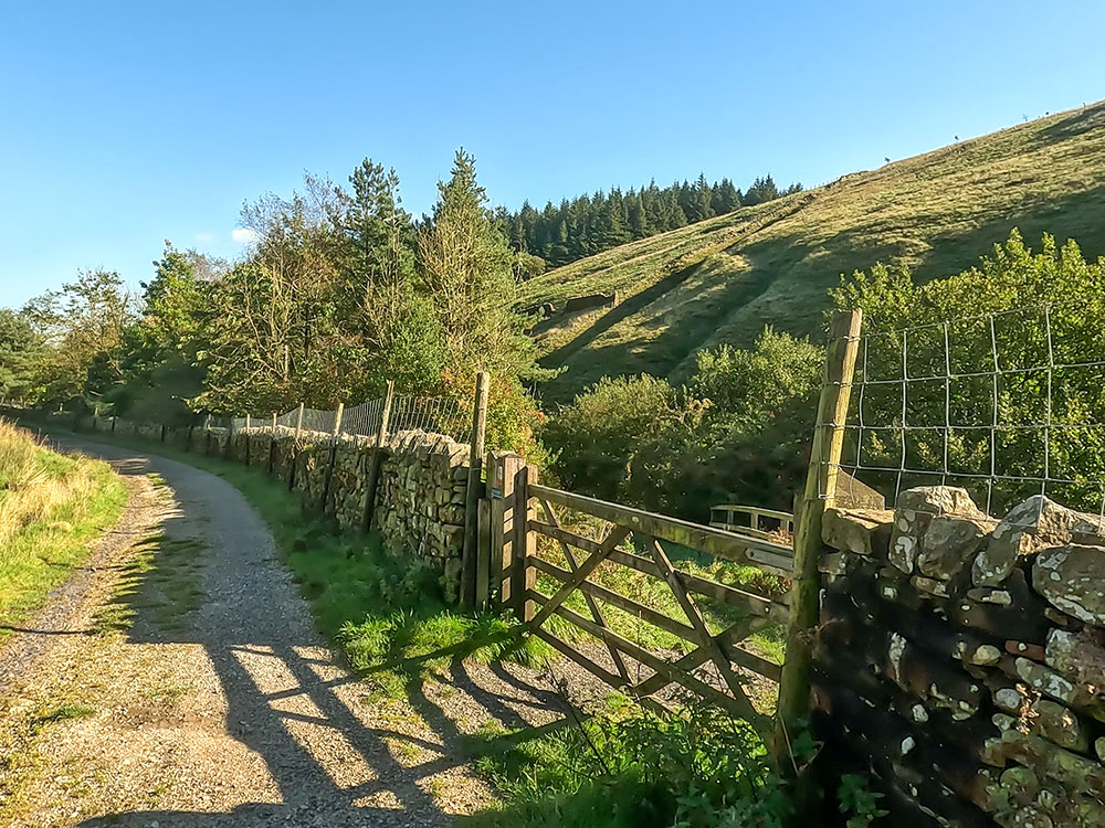
Just before the end of the reservoir, pass over the wooden footbridge on the left and then pass through the gate in the wall to turn right along the road. If you had not gone down the concessionary footpath, this is the road that you'd be walking down.
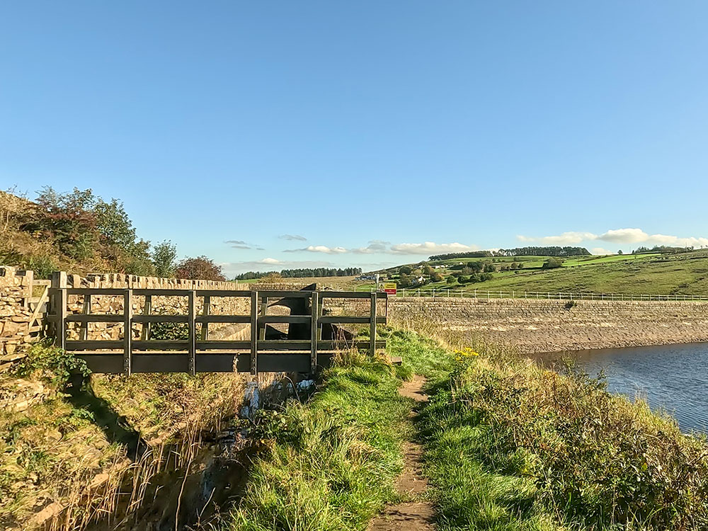
Wooden bridge to rejoin the lane
A few yards further on, there is another sign about the Ogden reservoirs, and then behind that you can see the head of the dam and another overflow chute.
Overflow chute and dam at Lower Ogden Reservoir
Just keep on walking now down the road back into Barley. At one point we pass by the wooden footbridge that we walked over near the start of the walk. This time we ignore that and just carry straight on along the road.
Heading back down the lane towards Barley
Passing by the old water works building, which is now houses
Upon meeting the road by the village hall, we cross back over the road and head back down the pavement to turn left, back into the car park.
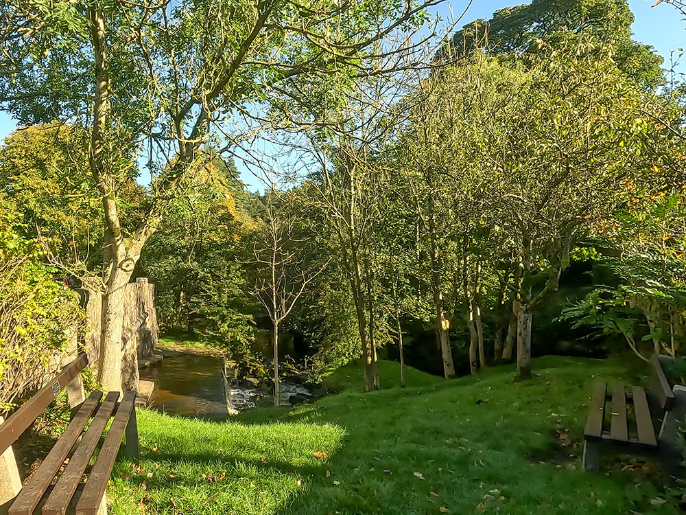
A couple of stream-side benches just before reaching the car park at Barley
Heading back into the car park at Barley
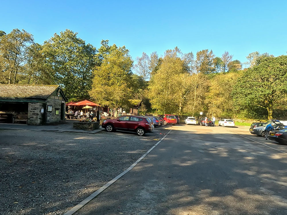
That's the Western loop of the Pendle Witches Walk completed, so if you need the toilets or fancy a drink or something to eat from the Cabin Cafe, now is the time as you pass them.
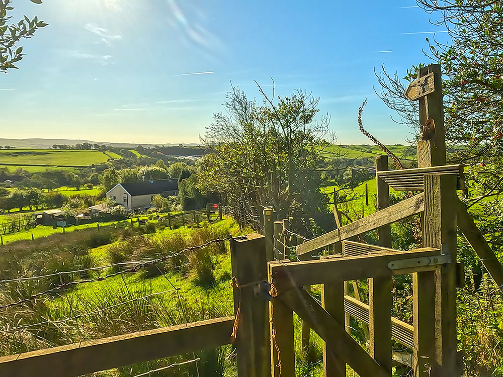
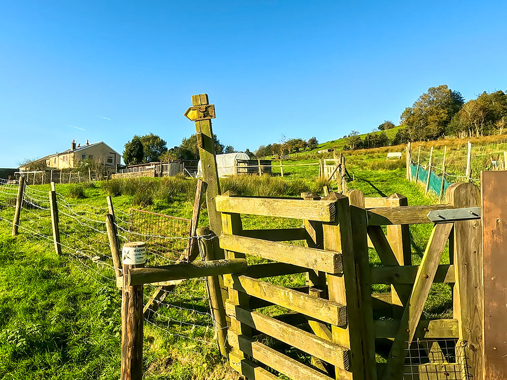
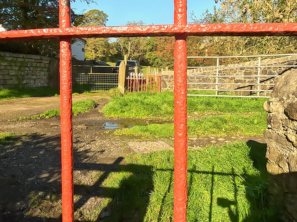
For the Eastern loop of the Pendle Witches Walk, we need to head away from the toilets towards the bottom end of the car park.
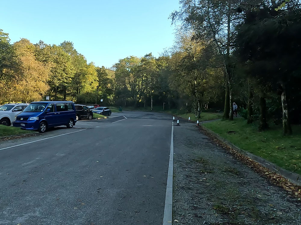
For the eastern part of the Pendle Witches Walk loop, head to the corner of the car park
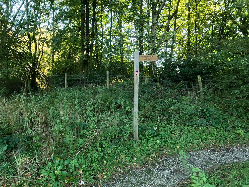
Whitehough footpath sign in the corner of the car park at Barley
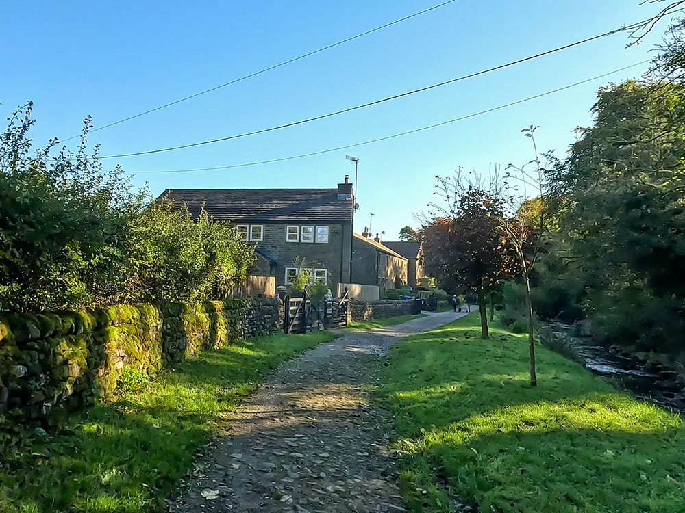
At the bottom end of the car park, follow the Whitehough 1/2 mile footpath sign along the narrow gravel track. The track bends around to the left and then meets up with a wider track. Continue straight ahead on the wider track. Over to the left, you can see a chimney that used to be part of the Narrowgates mill, and then just a few yards further on you walk through the old weavers' cottages.
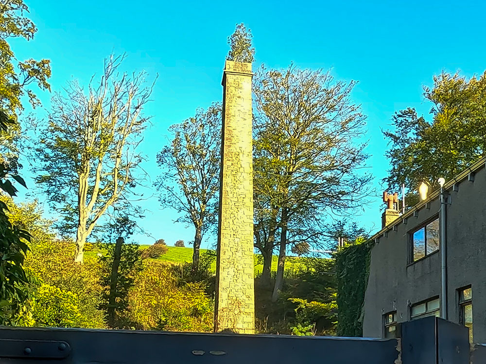
Old Mill chimney at Narrowgates
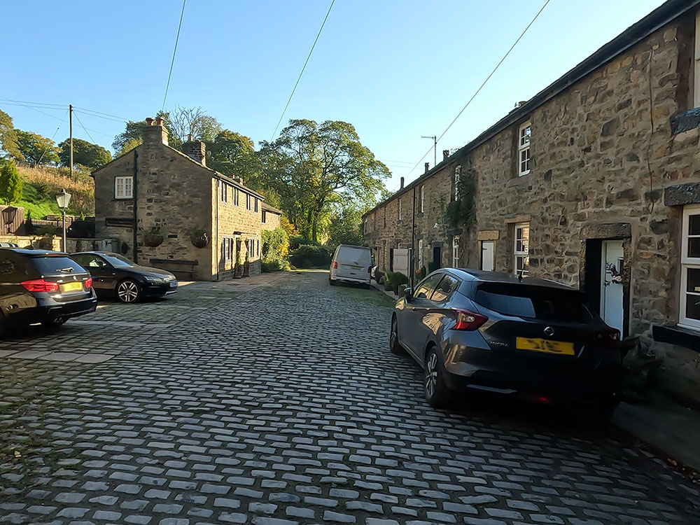
Weaver's cottages, now residential, at Narrowgates
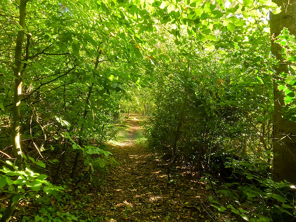
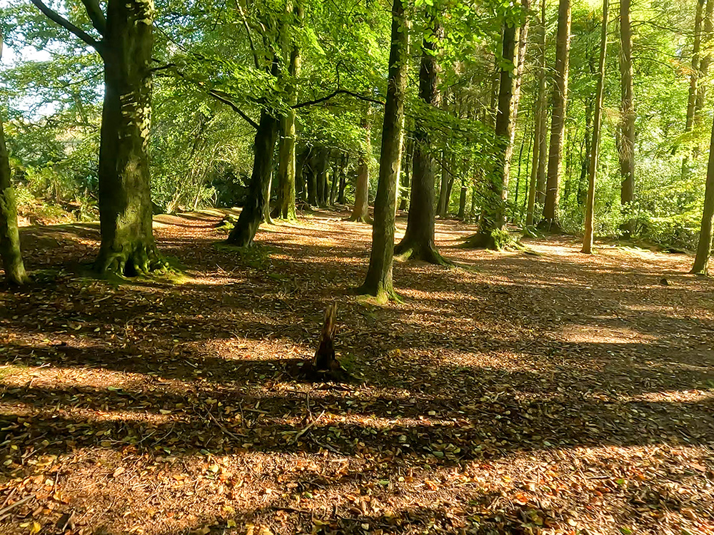
There is more about Pendle's Industrial past in our Ultimate Guide to Pendle Hill. Continue straight on and then pass through the next gate. We then just follow this path for just under half a mile, keeping to the left of Pendle Water.
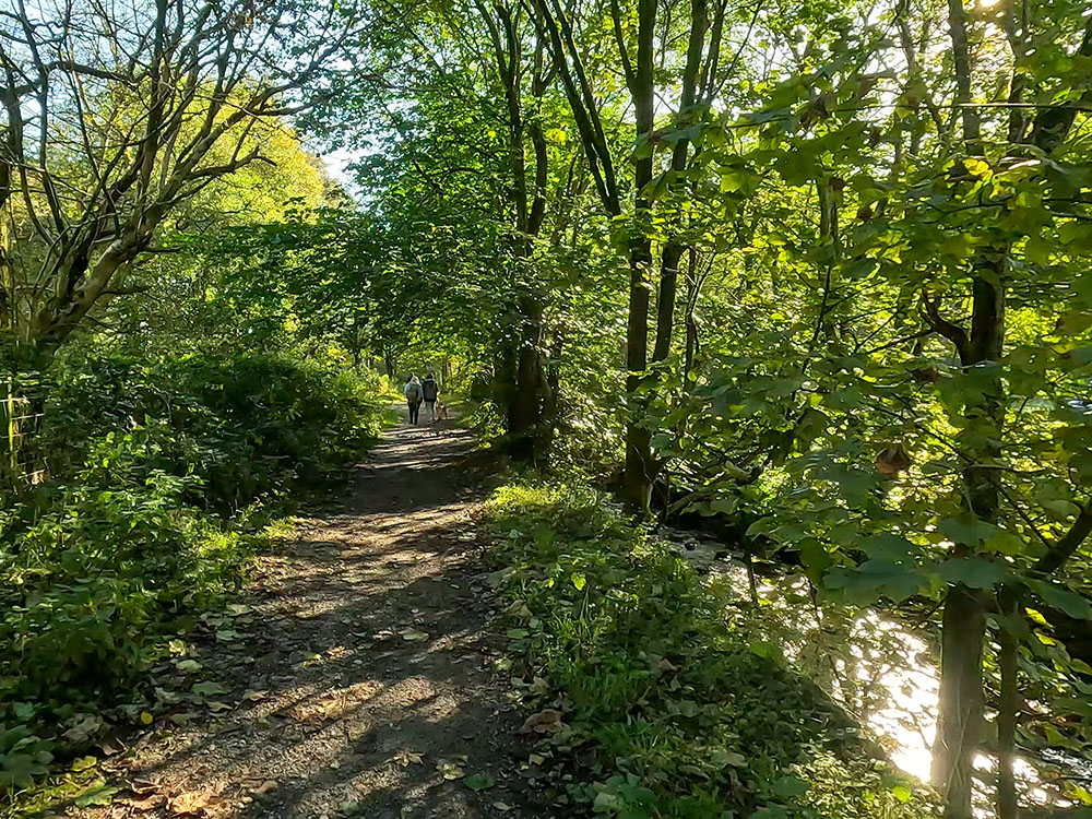
The path alongside Pendle Water on the Pendle Witches Walk
The path alongside Pendle Water approaching houses at White Hough on the Pendle Witches Walk
Just before reaching some houses, pass around the gate and then walk straight on. With the bridge over Pendle Water just coming into view ahead, we meet a road. Turn left up this road following the sign for Whitehough Outdoor Education Centre.
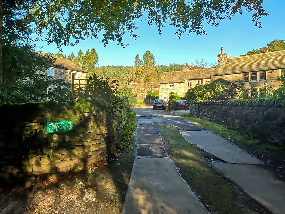
Follow the sign up the road towards Whitehough Education Centre on the Pendle Witches Walk
After a short distance, the road bends around to the right and we again follow the Whitehough Education Centre sign. Keep walking along the road as it slowly climbs for about 150 metres until you meet a small red brick building on the right-hand side.
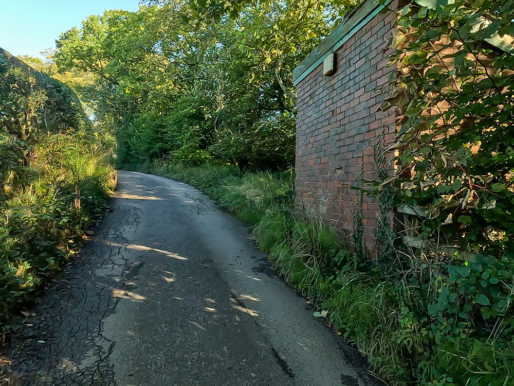
Approaching the red brick building behind which the Pendle Way footpath heads on the Pendle Witches Walk
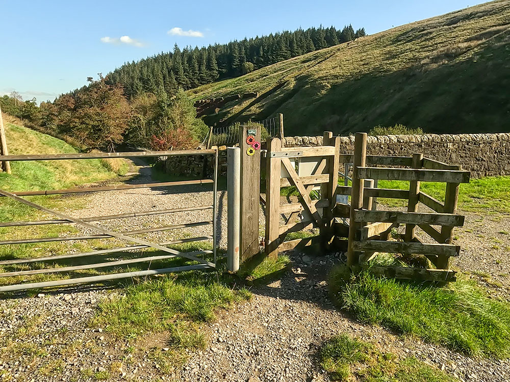
A couple of yards past the building you can see another Pendle Way footpath sign pointing to the right. Follow this sign and pass through the gate that is attached to the red brick building. From the gate, head away from the red brick building following the path that goes up through the woods.
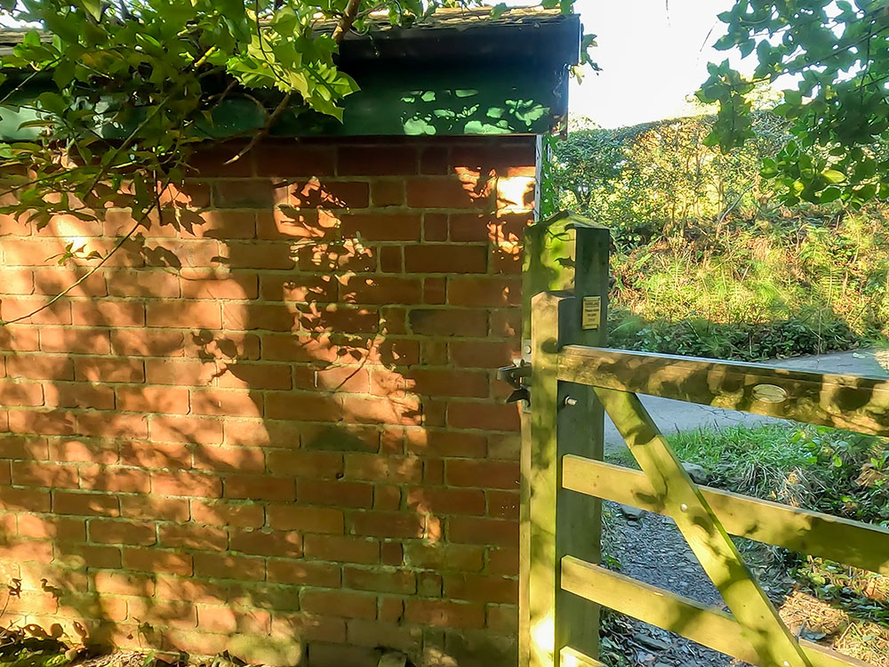
Just through the gate on the Pendle Way by the red brick building on the Pendle Witches Walk
The path is reasonably easy to follow, most of the time just keeping the outdoor education centre over to the left and a small stream over to the right. The path is intermittently marked by wooden waymarker signs and we pass over a few wooden footbridges along the way.
Heading through the woods with the Outdoor Centre over to the left
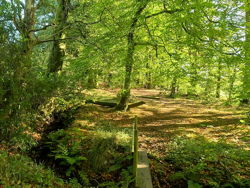
Pass over the first of a few wooden footbridges in the woods
At each of the footbridges, just walk over them and then continue straight ahead. At one point you meet another Pendle Way sign close by to a fence. Follow the sign and continue walking on through the woods.
The Pendle Way path heads up through the trees
One of the Pendle Way footpath signs in the woods
Follow the next footpath sign over another footbridge and continue walking straight ahead. Just after that, we walk across a short clearing to the gate in the fence ahead.
Follow the waymarker over the next small wooden bridge
Once out of the woods, after the short clearing, pass through this wooden gate
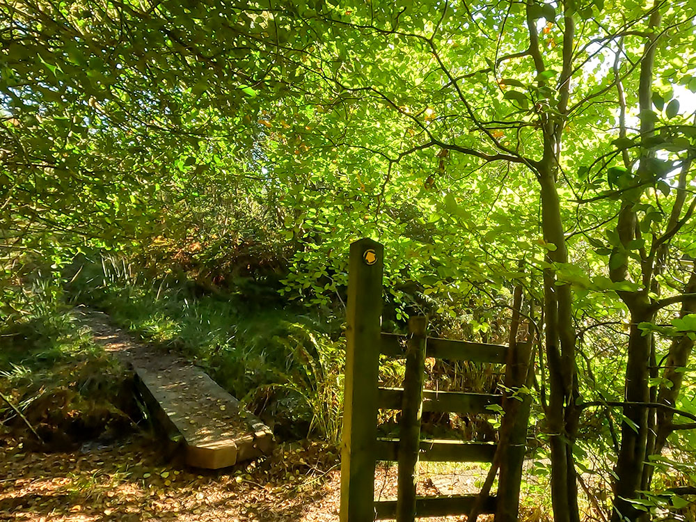
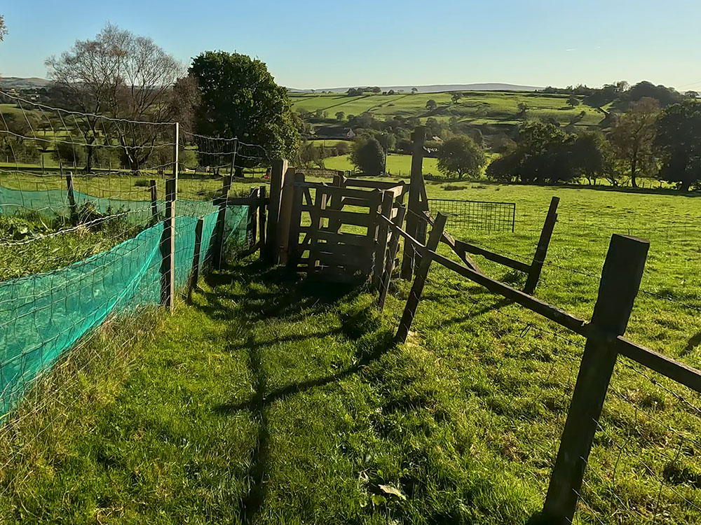
Pass through the gate, again following the Pendle Way sign. Once through the gate, follow the Pendle Way sign along the short fenced track at the end of which again, following the Pendle Way sign, head down to the right through the wooden gate down another fenced track, which is just a little overgrown in places.
Heading along the fenced track before turning right through the kissing gate at the end of it
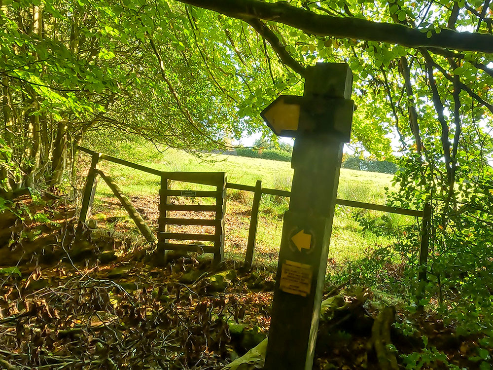
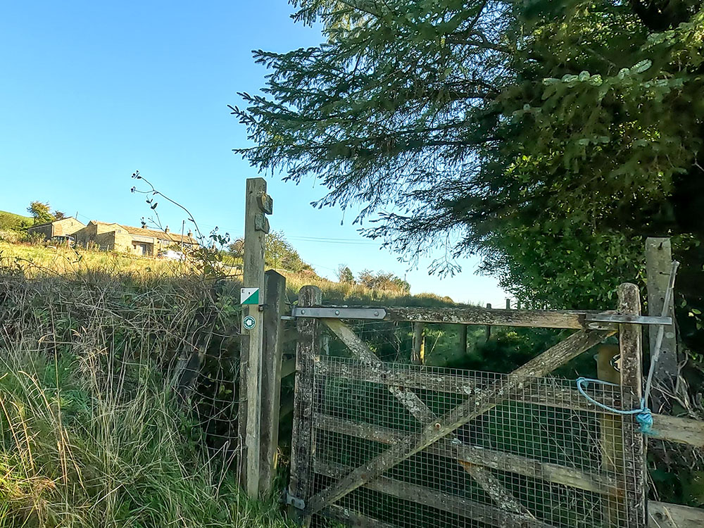
After a short distance, you enter out onto a road. Turn left and head along it. Then after about 30 metres, we reach a T-junction meeting the road that's coming out of Roughlee. Turn left onto the road to head a short distance around the bend.
Then, as it bends around to the left, we leave the road here to head off down the lane to the right, following a footpath sign and passing by the sign that says 'Hollin Top private'.
As the road bends uphill to the left, turn right off the road along the track
View from the track over the two caravan parks in Roughlee
Head along this lane that provides wonderful views over to the right over Roughlee. At the end of this field on the right, you'll see some trees ahead. I couldn't see the Pendle Way footpath sign, but just behind the trees, there is a gate.
Heading along the track - the Pendle Way heads down to the right by the tress ahead
Leave the track by the gate (not well signed) to head downhill
You pass through this gate off the lane to head down the Pendle Way. Head straight on down this path then keep on the same line. After about 75 metres or so, you meet a wooden gate in the fence ahead.
Heading down the Pendle Way towards Croft House ahead
Follow the Pendle Way sign through the gate and across the next short field
If you have any thoughts about this walk or find any issues with any of the footpaths used, please share them with us in the review section below.
Pass through this gate and head alongside the fence to the next fence. Just before reaching this next fence, we turn left to head alongside it. The path previously used to go straight on here, so it may look different on your map, but the path has been changed.
We now head alongside the left-hand side of the fence. Towards the end of the fence, head down the enclosed path towards the wooden gate ahead and then pass through the wooden kissing gate.
At the end of the short fenced section of path, pass through the kissing gate and head diagonally right
The footpath sign at the end of the fenced section
Once through the gate, follow the Pendle Way sign diagonally right across the field to arrive at the wooden footbridge in the corner.
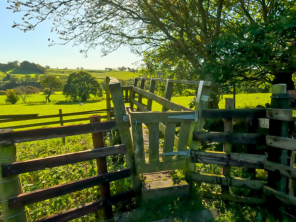
The Pendle Way path heads over the wooden footbridge and straight across the next field
Pass over the wooden footbridge and continue straight ahead. Again, just pass through this next gate and follow the yellow Pendle Way waymarker sign.
The Pendle Way path heading across the field
Pass through the next gate and follow the Pendle Way path across another field
Continue to walk straight on. As you cross the field over to the left on the peak of the hill is the folly of Blacko or Stansfield Tower, built in 1890 by a local grocer, Jonathan Stansfield. There are many stories as to why he built it, ranging from wanting to see Blackpool Tower (although that was probably built a couple of years after this), to being able to look over into the Ribble Valley and just wanting to be able to see his girlfriend's house.
Blacko Tower over to the left on the hill
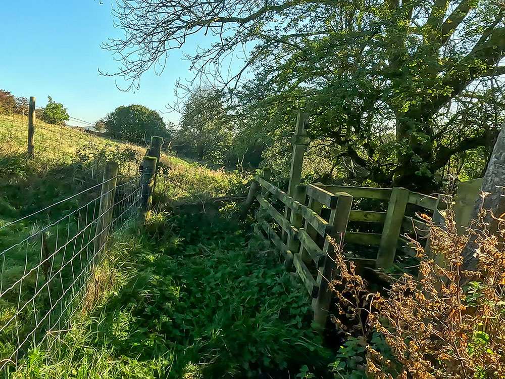
Having crossed the field, don't go over the stile in the next fence, but turn left just in front of a wooden waymarker again following the Pendle Way footpath sign and head along the edge of the field, just keeping to the left of the hedgerow.
At the next wooden waymark, turn left in front of it to head down the left-hand side of the fence
Pass over the wooden stile or through the gate if open
Upon meeting a gate, either pass over the stile to the side of it, or if the gate is open, pass through it and continue down the track. Where the track meets the wall, pass through the metal gate and immediately turn right, which is where we leave the Pendle Way as it continues straight on at this point.
Upon meeting the road, turn immediately right
After turning right immediately through the gate, head along a track to the right of the hedge, where over to the right is Roughlee Old Hall.
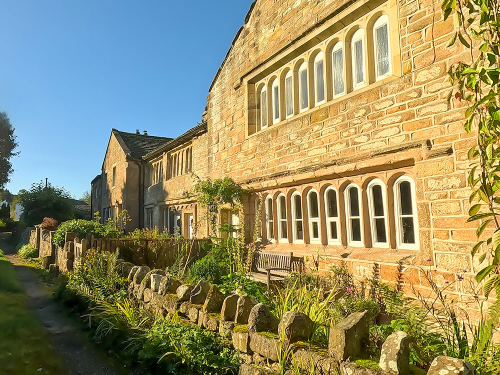
Roughlee Old Hall
Roughlee Old Hall was supposedly the home of Alice Nutter, one of the accused witches, but she was believed to live at nearby Crowtrees and was the widow of a yeoman farmer. Records from that time show the daughters of a man called John Smith lived at Roughlee Old Hall.
After passing Roughlee Old Hall, continue straight on, passing through the narrow gap in the wall and then continue ahead on the left-hand side of some houses until you meet the road ahead.
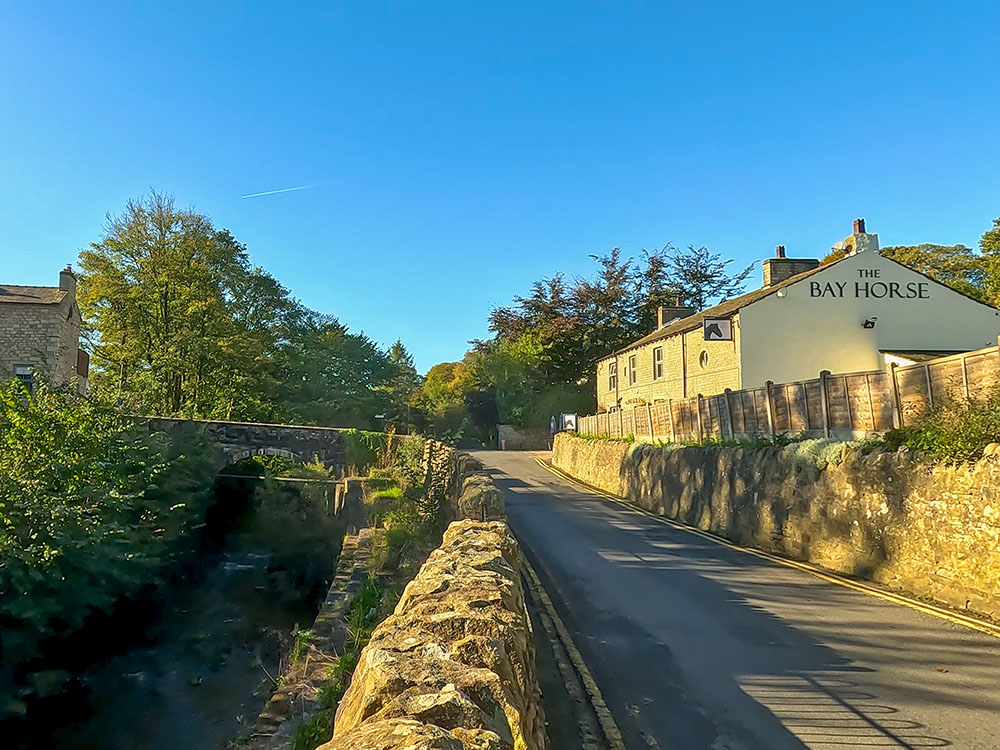
On meeting the road, turn left and then turn immediately right to head into Roughlee where you've got Pendle |Water on your left-hand side and ahead is the Bay Horse. The Bay Horse serves food and drink and generally has up to four real ales on the bar and it's also dog friendly.
Pendle Water and the Bay Horse in Roughlee
On the other side of the road, you can see the road sign for Lancaster Castle for the witches to follow. In the bus shelter opposite, you can find some information on Roughlee Booth and on Roughlee itself.
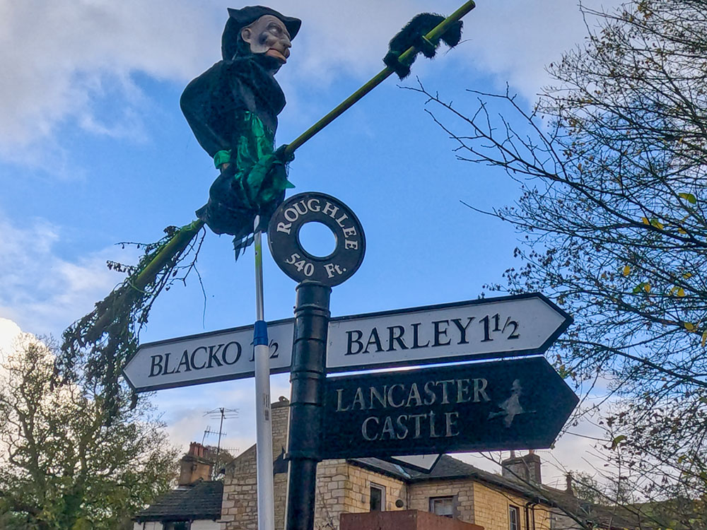
A witch on a broomstick on the Lancaster sign in Roughlee
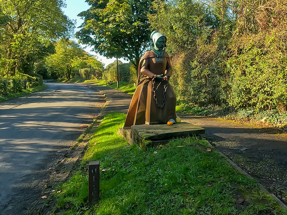
To continue the walk, head along the pavement away from the Bay Horse where you soon reach the statue of Alice Nutter in her chains.

Alice Nutter statue in Roughlee
The statue of Alice was unveiled in 2012, on the 400th anniversary of her execution. As I was passing, a few of the 'Peaky Blinders' were on a 'witchy' sightseeing trip and posed by Alice for me.
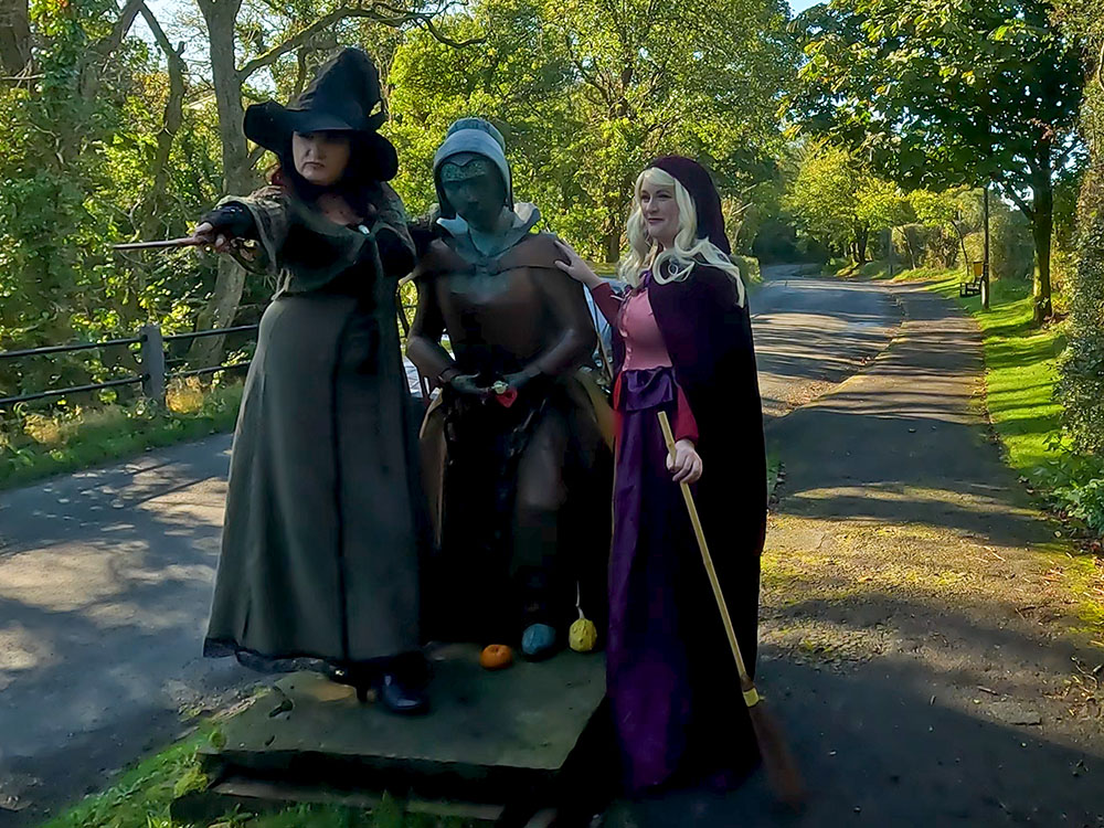
Two 'Peaky Blinders' witches standing by the Alice Nutter statue
Some of the 'Peaky Blinders' on a witches sightseeing tour by the Alice Nutter statue in Roughlee
From here, carry on along the road where, over to the left, you soon reach Roughlee waterfall.
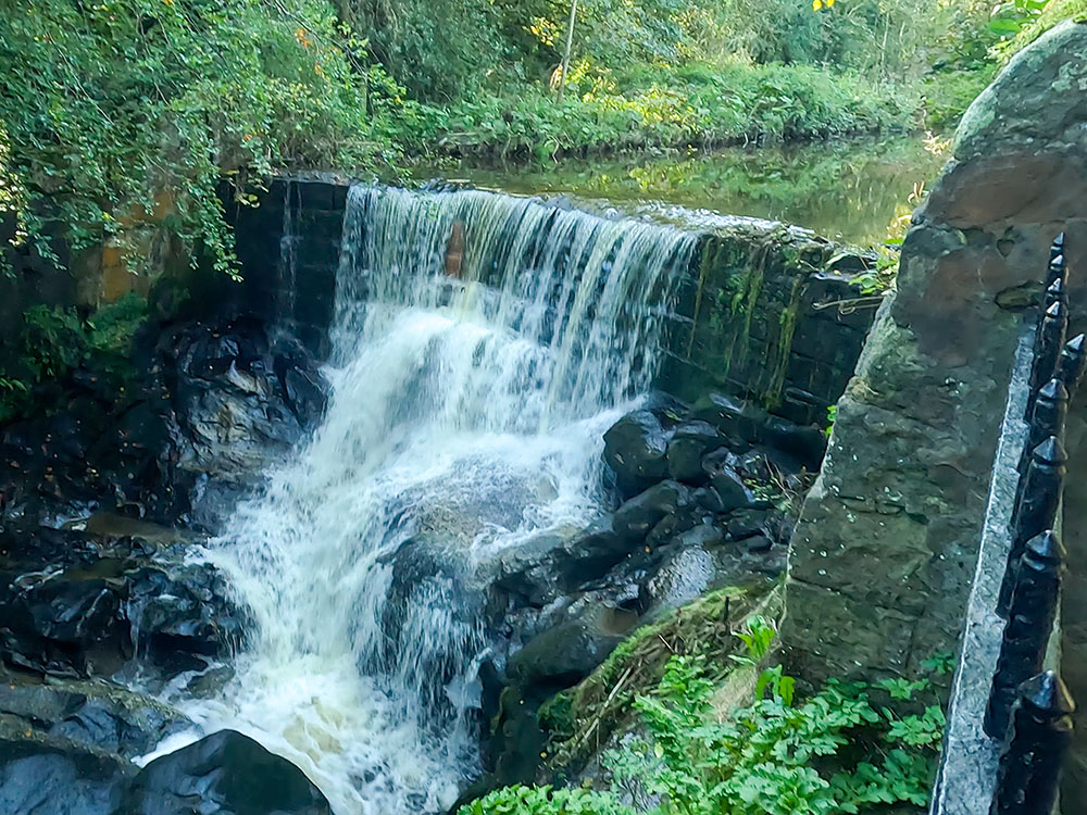
Waterfall on Pendle Water in Roughlee
Once past the waterfall, walk along the road passing by a small parking area, where there is another information sign about Roughlee. Roughlee holds an annual Halloween festival and around that time, many witches and ghouls appear around the village.
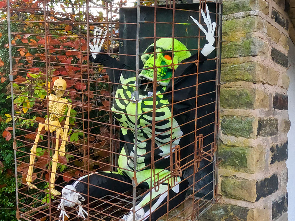
Halloween skeleton by the bus stop in Roughlee
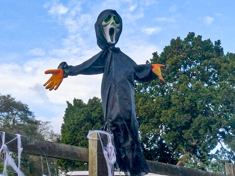
Halloween visitor in Roughlee
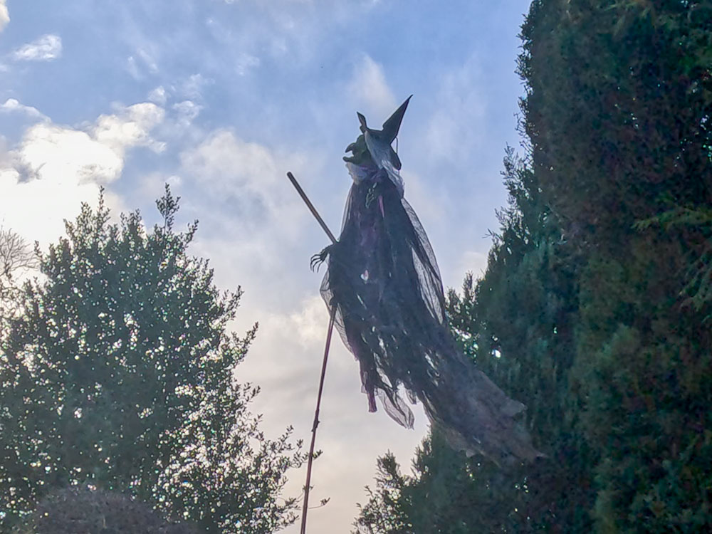
Halloween witch in Roughlee
From the sign, continue along the road, where you soon pass some white railings. Just before the end of the railings, turn right to follow the path alongside the stream. After a few yards, pass over a wooden stile and continue to walk straight ahead along the path.
Heading along the path alongside Pendle Water
Pass through a metal kissing gate and walk on along this flagged section by the water, and then upon meeting a metal gate, pass through it. Head on a few yards and then pass through the next metal gate to continue straight ahead along the path.
The path passes through two metal gates at Thorney Holme
After a few more yards, pass through another metal gate that we meet and then walk straight on, following the path that initially just follows down the left-hand side of the fence and the trees.
Heading along the path back towards White Hough and Barley
Upon meeting the next wooden gate in a wall, pass through it, then head away from the wall up slightly and then alongside the fence. The path then meets the bridge over the water at White Hough.
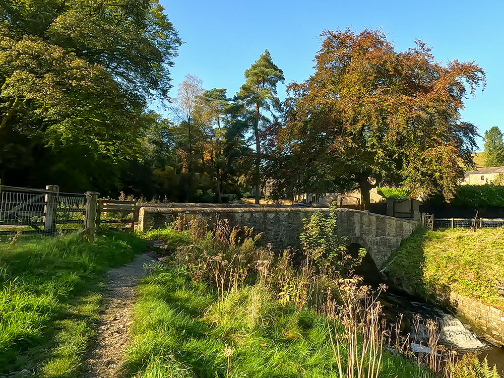
Approaching the bridge over Pendle Water, where we turn left
View from the bridge at White Hough, down on the right is the road up to White Hough Outdoor Centre taken earlier in the walk
Pass through the gap between the wall and the fence. If you look over the other side of the bridge, you can just about see the road that we turned up at the start of the walk up to White Hough. So if you did want to go back along the river again, you can just continue straight on here.
For now though, we will turn left and head up the hill towards the main road. On meeting the main road, cross it and then pass through the wooden gate. Once through the wooden gate, head away from it, up the hill, past the wooden waymarker.
Upon meeting the road, cross over and head through the wooden gate
Follow the waymarker up the hill towards Heys Lane
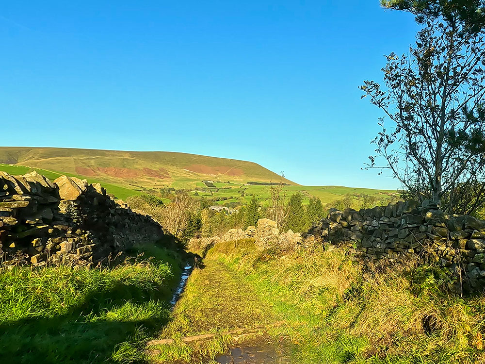
We then arrive at the top of the hill by two benches next to the wooden gates. Pass through the gate by the side of the large gate and turn right onto Heys Lane. We now head along the walled Heys Lane.
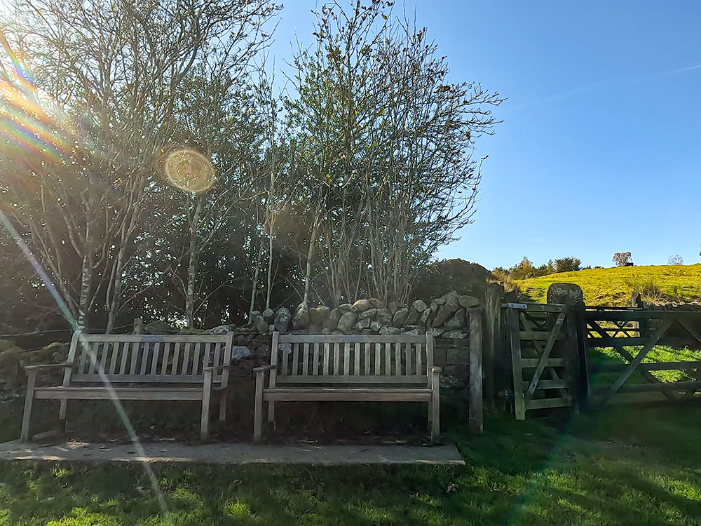
Two wooden benches by the gate that leads through onto Heys Lane
Looking over the gate along Heys Lane
After about half a mile, just as the lane starts to descend, there is a wonderful view straight ahead of Pendle Hill. I first came across this view about 15 years ago when I bought a print by local artist Keith Melling of Pendle Hill and Heys Lane and it has remained one of my favourite views of Pendle Hill ever since. I think partly because your eyes are drawn to Pendle Hill along the walls in the foreground.
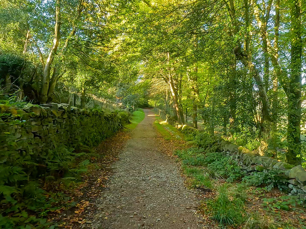
Heading along Heys Lane above Boothman Wood

Pendle Hill from Heys Lane, the same view (almost) as my Keith Melling Pendle Hill picture
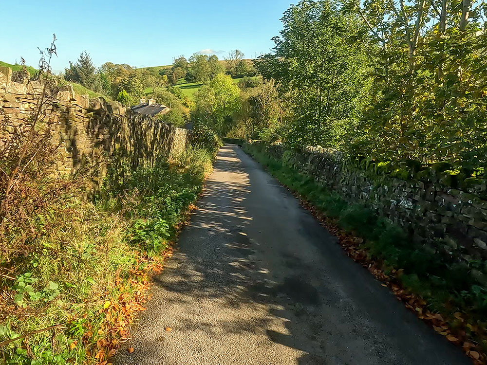
Continue down the lane as it drops into Barley. It just becomes a little rougher underfoot for a short section. When the path reaches some houses, continue straight ahead and then upon meeting the road, turn right to head down the pavement.
When you reach the crossroads, turn right to head along the pavement and then left back into the car park.
For places to eat and drink, just over halfway around the Eastern loop, we passed by the Bay Horse at Roughlee.
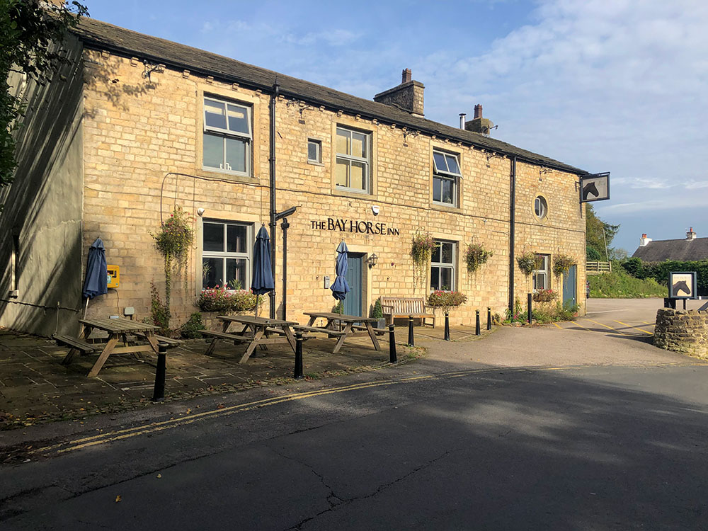
The Bay Horse Inn in Roughlee
But, if you didn't stop there, there is the Cabin Café in the car park at Barley, just on the far side of the toilets, which has sitting indoors and out. It offers a wide range of food and drinks.
Besides the Cabin Café, there is also the Pendle Inn and Barley Mow. To get there you head away from the toilets along the gravelled path, just over the bridge across the road is the dog-friendly Pendle Inn.
You can eat and drink either inside or outside the Pendle Inn and around the back in the conservatory. There is additional space for eating out at the front. There are plenty of beer tables if you want to have a sit and drink outside at the end of the walk.
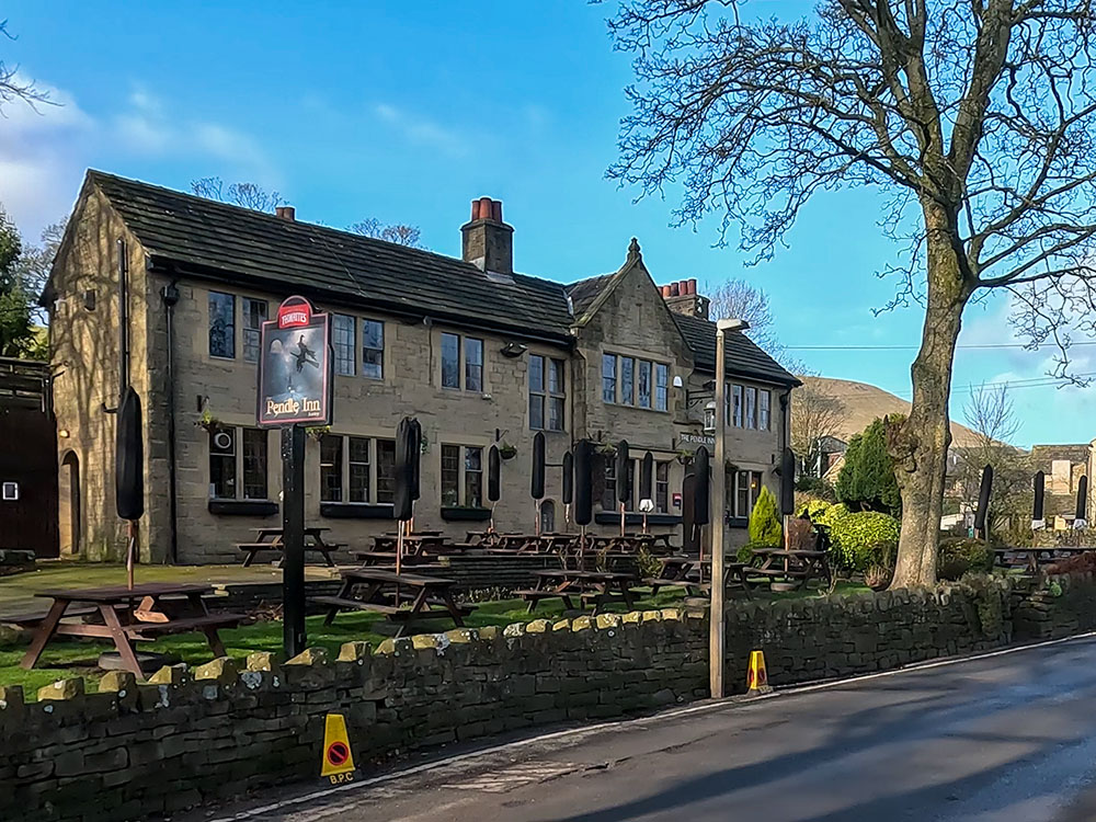
The Pendle Inn in Barley
Then, if you look just a little further along the road, you can see on the side of the building the brown sign for the dog-friendly Barley Mow. It has some accommodation and serves food and drink. There is some outside seating where you can get a glimpse through to Pendle Hill.
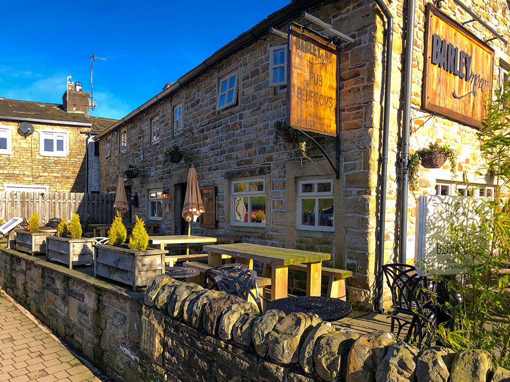
The Barley Mow pub in Barley
If this Pendle Witches Walk has given you the desire to find out more about what they endured, you can follow the Pendle Witches' driving trail, to follow the route the Pendle Witches walked to arrive at Lancaster, where they were executed. The 45-mile driving trail starts at the Pendle Heritage Centre and passes through Roughlee, Newchurch in Pendle, Barley, Downham, Clitheroe, Newton, Dunsop Bridge and through the Trough of Bowland before arriving in Lancaster.
Or, there is the more challenging 48-mile Pendle Witches Way walk, which starts in Sabden and passes through Newchurch in Pendle, Barley, Clitheroe, Dunsop Bridge and Abbeystead before arriving in Lancaster. This walk also passes over Pendle Hill itself along the way.
If you've watched and enjoyed the Pendle Witches Walk video, please click the 'Like' button, subscribe to our Channel and hit the notification bell so you know when any new walks have been uploaded.
It is free to subscribe on YouTube and your likes and comments do help promote our walks.
Gifts and presents for hikers and walkers
Are you struggling to pick the perfect gift for your hiking-loving friend or family member? Don't fret! Explore our curated selection of top-notch gifts for walkers and hikers that will have them trekking with joy on their special day.
What to wear and take on your walk or hike
Whether you are a seasoned hiker or new to walking, wearing and taking suitable hiking kit and clothing is essential for a day hike for your comfort and safety. So we have put together a hiking essentials checklist to cover all you'll need. Our Hiking Essentials checklist for 2026 takes you through planning your walk, the hiking essentials checklist itself, optional extras, explanations, and recommendations for all the hiking essentials.
Check out the reviews for this walk: